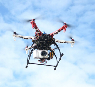
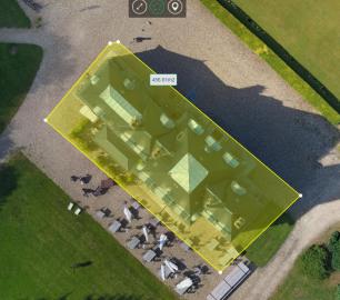
Geo-4D - 3D Ground Modelling
Geo-4D offers full ground modelling capability and expertise combined with data QC and management services. We use the only software available that enables full interaction with all relevant site data, on dedicated work stations, avoiding the use of multiple software packages and awkward file exchange formats.
The Detail
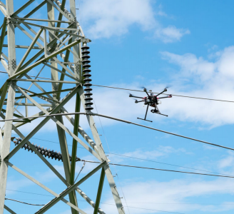
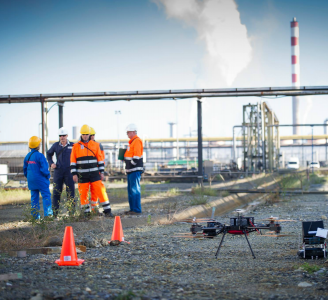
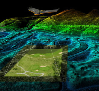
Geo-4D can be engaged at any phase of a project. From conception we can develop a desktop study and initiate the development of a ground model identifying data gaps. We then develop a technical specification for geophysical, geotechnical and metocean data collection, produce ‘Invitation to Tender’ documents, review received tenders and recommend for award.
Read moreA comprehensive ground model can provide highly detailed insight into an area surface and subsurface simultaneously. It allows for better informed decisions, reliant on evidence drawn from multiple data sources. Results can be seamlessly integrated with existing GIS systems.
You may also like
Geo-4D
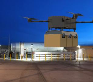
Online Portal: Air Support by Parrot
CALL FOR ASSISTANCE
Through our partnership with Parrot AS, Geo-4D can offer a fully interactive, online delivery pla
Product Detail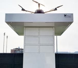
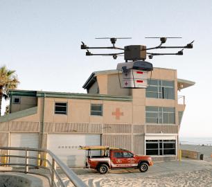
Heven Drones
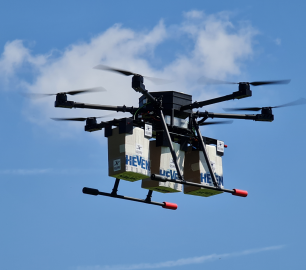
Urban Heven
CALL FOR ASSISTANCE
The Urban Heven is an advanced stage hexacopter drone capable of serving multiple mission types.
Product DetailALTI
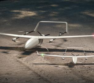
Reach - VTOL UAV
CALL FOR ASSISTANCE
The ALTI Reach is the upcoming 'bigger brother' to the ALTI Transition.
Product DetailTeal Consulting

Developing Collaborative Business Relationships
CALL FOR ASSISTANCE
Developing Collaborative Business Relationships - ISO 44001Organisations have long recognised tha
Product Detail
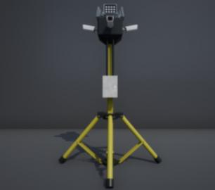
DRONE TRACKING TECHNOLOGIES
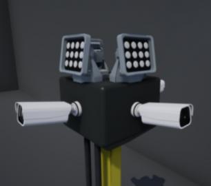
The F-Series VAD drone detection system
CALL FOR ASSISTANCE
The F-Series VAD drone detection system.
Product DetailHeven Drones
H250
CALL FOR ASSISTANCE
The H250 will be the workhorse of Heven’s heavy lifting drones.
Product Detail
Microbyte Solutions Ltd

Telecoms
CALL FOR ASSISTANCE
Complete telecoms for a fixed monthly feeWhen it comes to business grade telephone solutions,
Product DetailtlmNexus Ltd
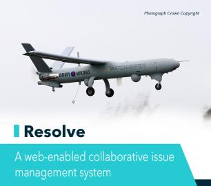
RESOLVE
CALL FOR ASSISTANCE
Tool overview: what will Resolve solve for me?Equipment issues that affect airworthiness, saf
Product DetailHeven Drones
H100
CALL FOR ASSISTANCE
The H100 represents the beginning of Hevens heavy lifter drones.
Product Detail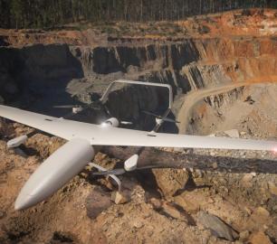

DRONE TRACKING TECHNOLOGIES
The P-Series VAD drone detection system
CALL FOR ASSISTANCE
The P-Series VAD drone detection system
Product DetailIntelligent Energy

2.4 kW Fuel Cell Power Module
CALL FOR ASSISTANCE
Lightweight power module for UAVs and other portable applications
Product DetailtlmNexus Ltd
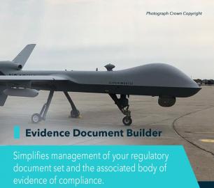
EVIDENCE DOCUMENT BUILDER
CALL FOR ASSISTANCE
Tool overview: what will Evidence Document Builder (EDB) solve for me? Complying with t
Product DetailMicrobyte Solutions Ltd
White Label 24/7 IT Helpdesk
CALL FOR PRICE
You can outsource your IT Helpdesk from only £500 a month.Microbyte White Label boosts your suppo
Product DetailRelated Articles

Purdue Athletics Collaborates with Levy’s DBK Studio, Valqari, and USOG to Pilot First F&B Drone Delivery Service in Sports & Entertainment
Test flights at recent Boilermakers baseball home series transported o...
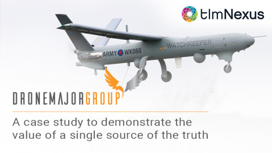
A case study to demonstrate the value of a single source of the truth
Working closely with DE&S and the UAS Delivery Team to identify, r...
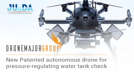
New patented autonomous drone for pressure-regulating water tank inspection
New patented autonomous drone for pressure-regulating water tank inspe...
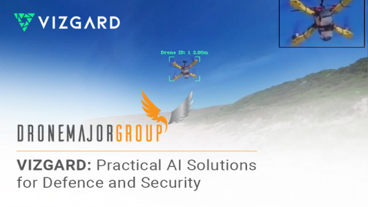
VIZGARD: Practical AI Solutions for Defence and Security
Drone Major welcomes London-based SME VIZGARD to our roster of world-c...