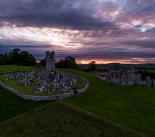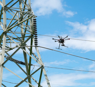

Drone Services Ireland was established in 2016 to meet the needs of the growing drone business in Ireland. The uses of drones are wide and varied and new ways to innovate are being developed every day in this rapidly changing and expanding sector. Drone Services Ireland is focused on these expanding sectors such as Construction and Surveying where drones can be used to perform once manual tasks and provide a safer workplace.
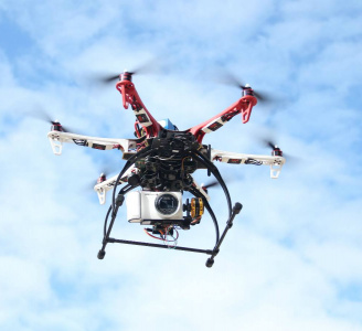
The advances in sensors and cameras, referred to as payload, is rapidly changing. New technology is being released almost weekly in this ever-changing industry and these only enhance the functionality of drones in modern business.
It is our mission to help customers to develop their business and expand with the use of drone technology at the core to improve productivity, decision making and most importantly to ensure the safety of their workers.
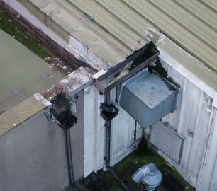
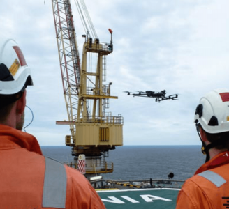
Drones can indeed save lives even now by taking workers out of harm's way. Where once they needed to climb scaffolding, now a drone can be the eye in the sky without the risk. We want to provide services that make most of drone technology.
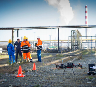
Drones have many uses and this is constantly evolving, a new technology that is both efficient and productive. There are many positives to drone uses but there are also many risks that need to be addressed. Drone Services Ireland is an IAA approved Operator and carries 6.5 million in public liability insurance. The flight mission is just a part of the job. Site surveys, risk assessment and planning are a major part of the job. Depending on location, Air Traffic Control ( ATC ) approval is required, particularly when operating in or around major cities.
Drone Services Ireland are committee members of the UAAI, the Unmanned Aircraft Association of Ireland. The UAAI is committed to ensuring the safe use of UAVs in Ireland and liaising with the IAA.
Drone Services Ireland are an IAA Approved SOP (Specific Operations Permit) holder and fully insured for Drone Operations