Department
Inspection
Featured Suppliers
Latest Product Arrivals
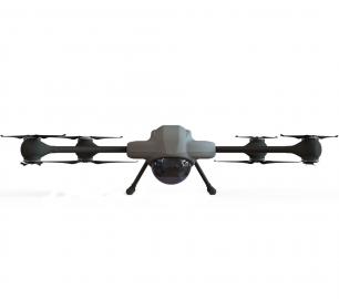
AiDrones
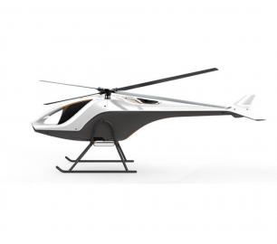
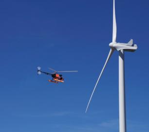
AiD-H85
CALL FOR ASSISTANCE
The AiD-H85 is a versatile RPAS (Remotely Piloted Aerial System) helicopter featuring an intermes
Product Detail

Percepto
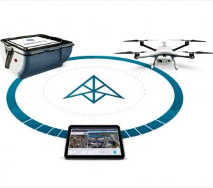
The Percepto System
CALL FOR ASSISTANCE
Percepto’s system consists of a weatherproof drone with HD RGB and thermal cameras, a b
Product DetailChronos Technology

GPS/GLONASS - CTL3520 Handheld GPS Jammer Detector and Locator
CALL FOR ASSISTANCE
Concerned about your drone being jammed?The Chronos CTL3520 GPS Jammer Detector and Locator is ide
Product DetailAccipiter
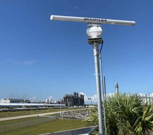
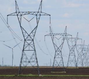
Accipiter®BVLOS Surveillance System (BSS)
CALL FOR ASSISTANCE
AN ACCIPITER® is an essential part of any BVLOS unmanned aircraft system (UAS) Whether you are
Product Detail
Latest Service Arrivals
Geo-4D
Online Portal: Air Support by Parrot
CALL FOR ASSISTANCE
Through our partnership with Parrot AS, Geo-4D can offer a fully interactive, online delivery pla
Product Detail
Digital Drone Services
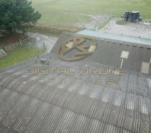
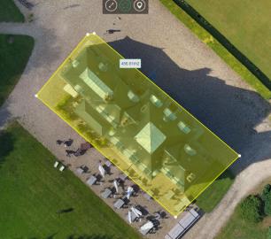
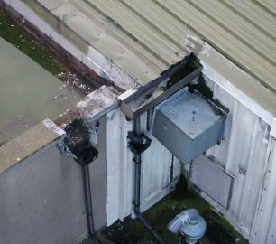
Survey & Inspection
CALL FOR ASSISTANCE
Any type of survey carried out from roof inspections to masts and towers.
Product Detail

Featured
Percepto
The Percepto System
CALL FOR ASSISTANCE
Percepto’s system consists of a weatherproof drone with HD RGB and thermal cameras, a b
Product DetailNews and features
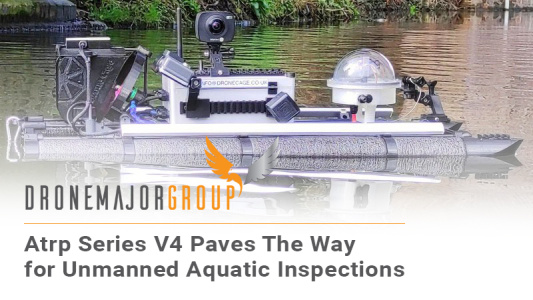
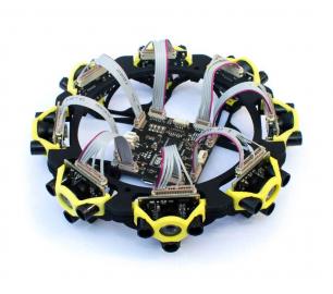
ATRP SERIES V4 PAVES THE WAY FOR UNMANNED AQUATIC INSPECTIONS
A lot has happened since our last update on the ATRP.The v3+, ha...

The role of drones and traffic management beyond airports
With the advent of specific regulations, better technologies and great...
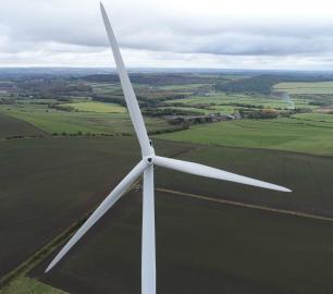
Why we do blade inspections, the way we do blade inspections
Writing is ambiguous. It misreads, misdirects, and paves the road for ...


Succeeding with using drones/UAVs to optimize maintenance operations, in 4 steps
This article builds on the premise, that using drones for maintenance ...

How to create UAS jobs for yourself. Starting a DSP in 4 steps
1. Picking a market Are you stuck looking for UAS jobs in your area...

Exactly how much is visual inspection data worth?
It can be easy to look for a one-and-done solution, when it comes to p...

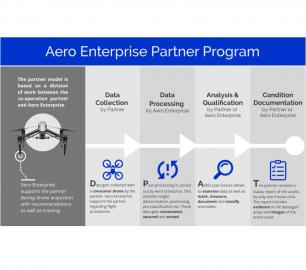
Successful inspection flights in the North Sea, Germany
Aero Enterprise uses its new developed helicopter drone for offshore i...
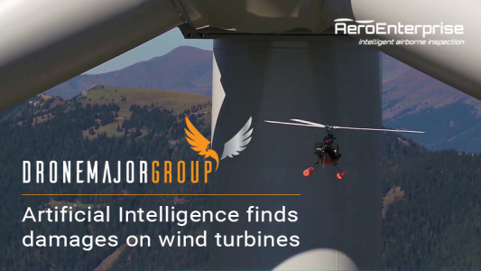
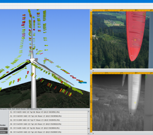
Artificial Intelligence finds damages on wind turbines
Aero Enterprise is specialized in airborne inspection of damages on wi...

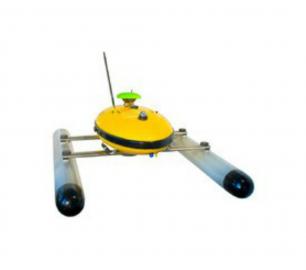
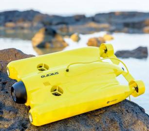
Underwater Drones used for Search & Rescue and Surveillance in India
Kumbh Mela is one of the largest religious gatherings on earth. It is ...
Drone Major Recommends
Percepto
The Percepto System
CALL FOR ASSISTANCE
Percepto’s system consists of a weatherproof drone with HD RGB and thermal cameras, a b
Product Detail