

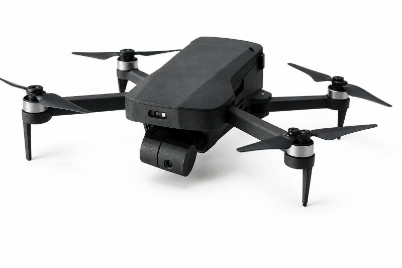
A next-generation autonomous micro drone designed for reliable operation in GPS-enabled and GPS-denied environments. Weighing less than 250 grams, its compact, foldable design enables rapid deployment and easy transport without sacrificing mission capabilities.
Powered by artificial intelligence, computer vision, sensor fusion and machine learning, MVC Sky Lite analyses its surroundings, estimates its position and adapts its flight path in real time. SLAM technology maps unknown environments while simultaneously determining the drone’s location. Combined with LIDAR-based ranging and obstacle detection, it enables precise navigation through urban areas, industrial facilities, tunnels, warehouses, remote terrain and indoor spaces where satellite signals may be unavailable, obstructed or jammed.
A 12 MP IMX708 image sensor captures photographs and HDR-enhanced video. The two-axis gimbal improves image stability during dynamic flight, while 1080p live streaming delivers real-time visuals for reconnaissance, surveillance, inspection and situational awareness.
Dual-band 2.4 GHz and 5.8 GHz Wi-Fi supports command, telemetry and video connectivity, with a range exceeding two kilometres under suitable conditions. Operators can plan missions, monitor flight data and view live imagery through a tablet-based ground station.
With more than 20 minutes of flight time, smart power management and swappable batteries, MVC Sky Lite supports field operations with minimal interruption. Intelligent obstacle avoidance and adaptive navigation reduce collision risk and improve mission continuity in complex environments.
Designed for security, reconnaissance, search and rescue, infrastructure inspection, exploration and aerial data collection, MVC Sky Lite combines autonomous intelligence, high-quality imaging and resilient AI navigation in an ultra-portable platform.