Drone Site Surveys are a Drone Company specialising in the utilisation of drone technology to help the construction sector to work smarter.
We primarily work with construction and surveying companies and often work as an internal aerial department as we can fully white label our work.
We keep up to date with all of the constantly updating drone laws and regulations, purchase the latest equipment, and deliver data-led reports with extensive aerial insurance so you can be assured that your project is in safe hands.
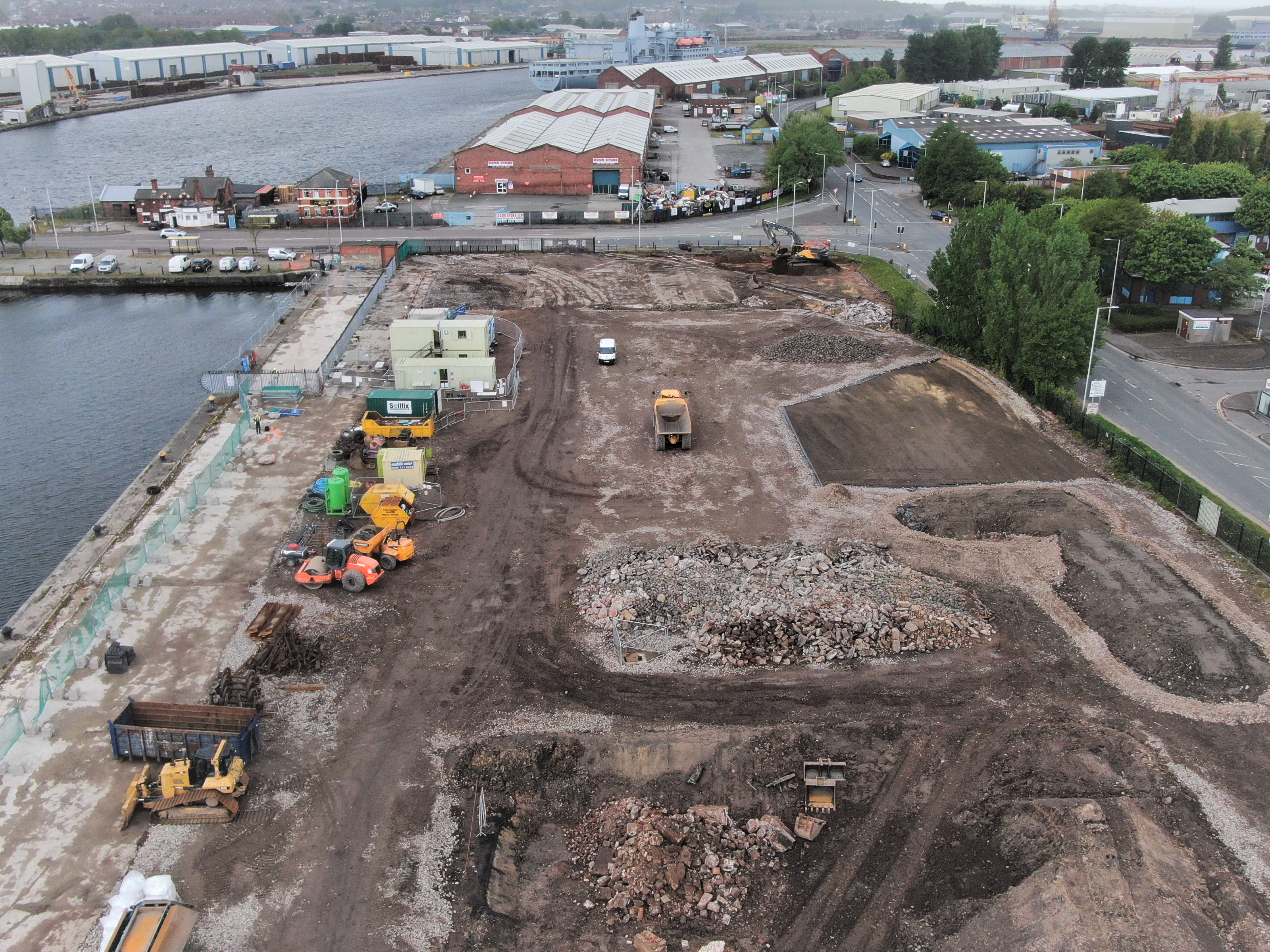
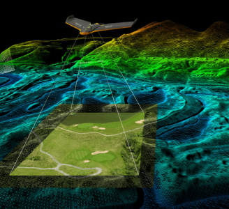
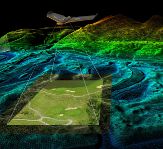
Our services include providing images and video, roof images and surveys, live streaming (surveyors and stakeholders can watch the drone camera in flight from the comfort of their office) to site progress images and topographical surveys, thermographic non-invasive images, video and reports(all drone pilots fully trained thermographers), volumetric stockpile and trench depth measurements, digital surface models, 3D site models, orthomosaics, if you can do it with a drone, we can do it.
We have a fleet of drones with extensive camera attachments, including DJI Matrice 210 RTK (fitted with a Flir Duo Pro R Thermal Camera), DJI Phantom 4 RTK SDK, DJI Mavic Enterprise Advanced Thermal with RTK, DJI Mavic Zoom, Parrot Anafi Thermal, Autel EVO II Dual, DJI Mavic 3 and many more enabling us to carry out any aerial project.
Despite our name we are not just drones, we provide highly visual services and also use 3D interactive mapping for inside buildings.
3D internal mapping can be used in multiple ways to benefit your workflow, from scopes of work, to progress monitoring and great visuals for clients and stakeholders.
All of your footage is delivered via a secure webpage allowing instant secure access to your pictures video and reports.
Get in touch to see how we can help your organisation to work smarter by using Drone Site Surveys.


