Department
Surveying, Mapping & Modelling
Featured Suppliers
Latest Product Arrivals
AiDrones
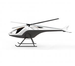
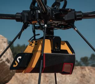
AiD-H85
CALL FOR ASSISTANCE
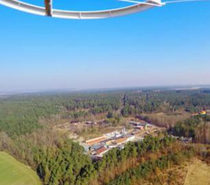
The AiD-H85 is a versatile RPAS (Remotely Piloted Aerial System) helicopter featuring an intermes
Product Detail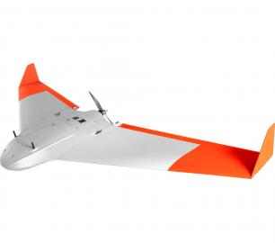
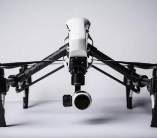
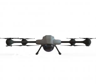
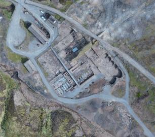
Percepto
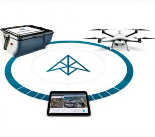
The Percepto System
CALL FOR ASSISTANCE
Percepto’s system consists of a weatherproof drone with HD RGB and thermal cameras, a b
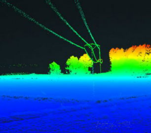
Product DetailYellowScan
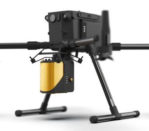
Mapper - Jump into the LiDAR world
CALL FOR ASSISTANCE
Easy mapping redefined Start your LiDAR journey with our easy-to-use Mapper system. Its low weight
Product Detail
YellowScan
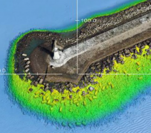
Voyager - Precision meets reality
CALL FOR ASSISTANCE
The YellowScan Voyager is our highest range LiDAR solution with a range of up to 760m (2493 ft.)
Product Detail
YellowScan
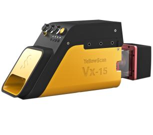
Vx15 - Made for adventurers
CALL FOR ASSISTANCE
Go from mapping inaccessible sites in the Balinese mountains to secluded areas in Chile.
Product Detail
Latest Service Arrivals
The Drone Guys
Photography and Video Filming
CALL FOR ASSISTANCE
Being able to fly a drone doesn't make you a drone photographer .. Luckily The drone Guys&nbs
Product Detail
Caelus Drones
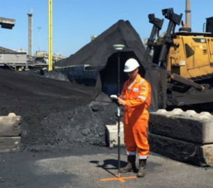
Industrial Surveys
CALL FOR ASSISTANCE
We can provide highly accurate data for surveys.
Product DetailDigital Drone Services
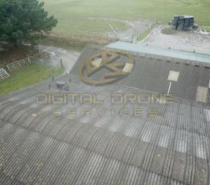
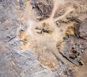
Survey & Inspection
CALL FOR ASSISTANCE
Any type of survey carried out from roof inspections to masts and towers.
Product Detail
Digital Drone Services
Photogrammetry & Orthomosaics
CALL FOR ASSISTANCE
Photogrammetry & Orthomosaic Services
Product Detail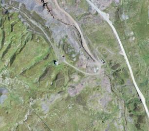
Featured
Percepto
The Percepto System
CALL FOR ASSISTANCE
Percepto’s system consists of a weatherproof drone with HD RGB and thermal cameras, a b
Product DetailNews and features

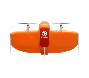
Wingtra and Delair sign on dotted line to offer practical business insights from large, high-accuracy drone mapping projects
The vertical take-off and landing (VTOL) WingtraOne mapping...
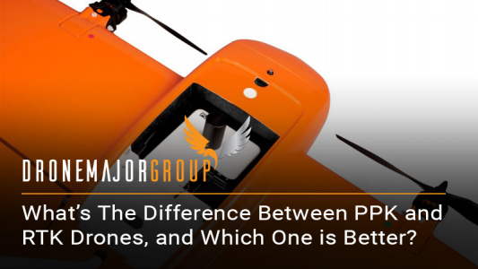
What’s the difference between PPK and RTK drones, and which one is better?
Post-processed kinematic (PPK) and real-time kinematic (RTK) are not n...

What 5G Means for the Drone Industry
5G has been the subject of significant recent media scrutiny, with cri...
Drone Major Recommends
The Drone Guys
Photography and Video Filming
CALL FOR ASSISTANCE
Being able to fly a drone doesn't make you a drone photographer .. Luckily The drone Guys&nbs
Product DetailPercepto
The Percepto System
CALL FOR ASSISTANCE
Percepto’s system consists of a weatherproof drone with HD RGB and thermal cameras, a b
Product Detail