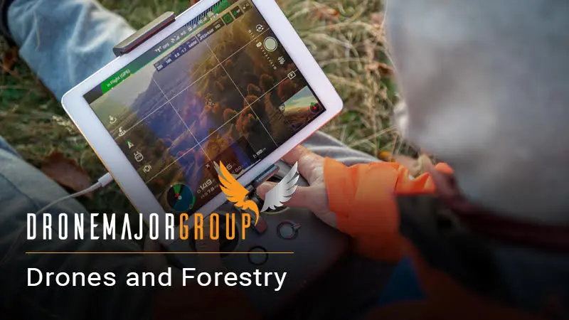
Drones and Forestry
The application of drone technology in the forestry industry offers significant advantages to those who embrace it. This exciting and rapidly evolving technology possesses the capability to capture high-resolution images as part of an even larger collation of data that can enable organisations and researchers alike to better understand and track the health of forests and their inhabitants.
Drones can monitor tree health, track animal locations and migration patterns, even locate or communicate with lost or malicious persons. The technologies are far more efficient and cost-effective compared to the traditional methods of data collection. Additionally, agile drones can reach places that are dangerous or impossible for humans to safely navigate. To note a few applications, we will discuss drones in tree disease detection and prevention, wildlife monitoring and human interaction (security, as well as search and rescue).
Tree Disease Detection and Prevention
Tree Disease Detection and Prevention
Historically, the most plausible way to monitor the health of forests involved large scale aviation or massive time commitments from manual labour. This could involve hours spent in forests, counting and measuring trees to record varying heights and girths, or alternatively spending tens of thousands of pounds on piloted aircraft to survey the area and collect mediocre data. Bear in mind that manned craft comes with its own limitations in terms of mobility and getting close enough to the ground to gather sufficiently accurate data.
Throughout the past decade, drone technology has advanced to the point that UAS (unmanned aircraft systems) or UGVs (unmanned ground vehicles) equipped with remote sensors, such as infrared and LiDAR, and AI software can not only count but also analyse and compile data profiles on large forested areas. The integration of drone technology saves both time and money for the efficient and early detection of forest disease, consequently leading to more profitable yields for relevant stakeholders (such as paper companies or loggers).
In the UK, foresters are encountering a critical problem in fighting a disease that affects not the height of the trees (something easily identified through traditional aircraft surveying), but rather the girth. Helicopter or aeroplane photography could not capture enough detail to differentiate the individual trees’ girth, so the only option for the panicked foresters was to send out individuals on foot with tape measures to record the width of each tree and compile manual data tables to track and report on forest health. This is an extremely time consuming and tedious process that has been dramatically expedited through the integration of drone technology.
For this problem and similar, one solution would be to deploy a fleet of UGVs equipped with small and agile air drones capable of capturing detailed images and measurements. The UGV – a semi-autonomous solution – would use wheels or ‘legs’ to navigate the forest floor, following a pre-programmed or remotely controlled path. Meanwhile, the air drone would rest atop the UGV on a portable charging station. Once instructed, the air drone would detach, take-off and use remote sensing capabilities to count the number of trees, differentiating between varying types, analysing the height and/or girth, and even monitor drainage patterns in the area. The data collected via the UAV and UGV would then be converted into sensible, trackable measurements that would allow foresters and researchers to monitor changes with unparalleled accuracy.
The aforementioned LiDAR technology has become so advanced to date that it is now able to navigate even above the canopy of forests, while still keeping count of the individual trees below and measuring height and girth – an invaluable resource to foresters and researchers. However, it is worth noting that currently, LIDAR is relatively limited in terms of scale, so while it can be used to accurately measure, count and detect trees, the capabilities for human or wildlife monitoring are not quite as advanced at this time.
Wildlife Monitoring
Wildlife Monitoring
Drone imaging capabilities can also be used to monitor and track wildlife habits, locations or migration patterns. Infrared imaging can deliver clear pictures even in darkness or inclement weather. Movement recognition software can track animals, creating detailed data banks of movement, migration, habitat preferences and aggression. This data is invaluable to park rangers, wildlife enthusiasts, licensed hunters and police alike.
Additionally, this technology has the power to dramatically decrease the amount of illegal poaching in sensitive areas such as South Africa. The data collected can provide researchers, conservationists and law enforcement with a detailed and continuously updated set of imaging and tracking to further enhance animal protection and enable an immediate reaction to danger that is not available with typical stationary cameras or traditional on-foot patrols. Drones equipped with motion tracking and thermal imagery have already been successful in identifying and countering potential threats to endangered wildlife.
Human Interaction
Human Interaction
Similar to the technology available to track and monitor wildlife, advanced drone systems with AI software and facial recognition capabilities can help immensely with human security and safety within large, dense forests.
Search and rescue teams could use drone fleets to survey and scan deeply wooded areas for missing persons, saving precious time and resources with more than a 250% increase in efficiency. Drones are able to cover large areas with meticulous accuracy – something that individual officers and search patrols simply cannot do. Advanced AI software can be trained to spot human features and compile precise data point locations that can be converted into maps for further searches.
Offering greater accessibility and manoeuvrability than the likes of a helicopter (not to mention being a lot cheaper), drones can be used for continuous surveillance within forests, with many solutions allowing for real-time communication between the craft, the operator and the rest of the team on the ground. For example, camera-equipped drones can detect movement and the operator can then speak to the individual who has been spotted or guide a team towards them, increasing the safety of forest areas and keeping a record of suspicious activities for future safety planning.