Editorial Feature
Suppliers Join Forces to Assist With Kelowna Wildfires
Words By: Colin Nutton
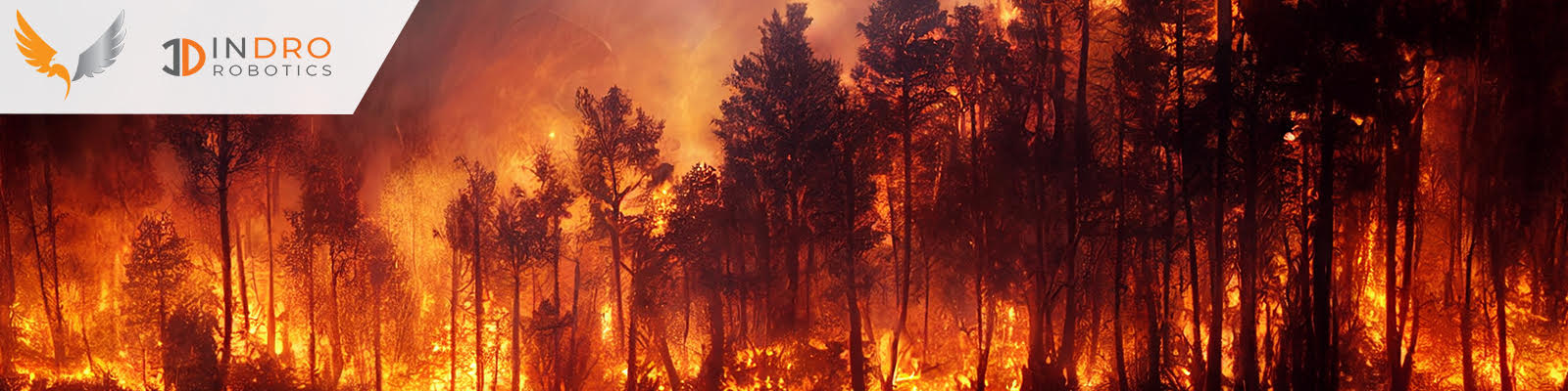
Two leading Canadian drone/data acquisition companies joined forces to provide decision-makers in Kelowna with critical data surrounding the wildfires that have threatened the city. InDro Robotics and drone imagery platform Spexigon have been carrying out precision flights of impacted areas to assist those involved with emergency response.
When the threat of wildfires to Kelowna reached its peak, the City contacted InDro Robotics for assistance. The City was interested in rapid damage assessment, in addition to identifying potential trouble spots using thermal imagery.
“We wanted to leverage the potential of drones to gather critical information that can’t be obtained through other means,” says Jazz Pabla, Kelowna’s Director of Information Services. “This mission also worked closely, and with the full support of, Kelowna’s Fire Department.”
InDro, a research and development company with deep expertise in aerial and ground robotics, has long used drones to assist in emergency situations and is known for its extensive work with First Responders.
“We were obviously keen to help as quickly as possible,” says CEO Philip Reece. “To complement our own expertise, I felt that Spexigon would be the most suitable platform for rapidly gathering high-resolution imagery.”
Capturing consistent, high-resolution photographs via drone is challenging for a pilot to carry out manually. Altitude above ground level must remain absolutely consistent, with images captured at precise intervals in order to be stitched together using a process known as photogrammetry.
Vancouver-based Spexigon is a new platform that uses an app to carry out automated flights using popular off-the-shelf drones. Spexigon is the first platform of its kind to produce what’s known as “Current State Imagery” – recently captured imagery that is high-resolution, standardized, and can be easily updated.
Initially developed to enable organisations to make better decisions about real-world assets like buildings and infrastructure, Spexigon is equally suitable for rapid assessment of emergency situations. Using the Spexi Geospatial app, scores – even hundreds – of high-resolution images can be stitched together into a single cloud-based panorama that can be securely accessed by decision-makers. Data from these missions was processed and viewable within three hours of the flights.
“Our mission has always been to help decision-makers get the information they need so they can better manage assets & resources,” says Bill Lakeland, CEO of Spexi Geospatial Inc. “In the case of the ongoing wildfires being experienced in B.C., our goal is to support the Province, the city of Kelowna, and our firefighters by getting them up-to-date imagery of what’s happening on the ground as quickly and as safely as possible.”
The Spexigon platform consists of a web app and mobile app that control drone flights in predetermined hexagonal zones overlaid on a map of the earth. These zones are approximately 22 acres in size and are referred to as Spexigons (a.k.a spatial hexagons). The platform flies automatic, standardized missions using sub-250-gram micro-drones. Because of their exceedingly lightweight, these drones are considered very safe to use near people and property on the ground. They can also be launched very quickly. In addition to damage assessment flights, InDro Robotics has also been overseeing nighttime thermal missions. Of particular interest to decision-makers was the state of the city’s landfill – which had some fires burning beneath the surface. These flights were able to identify hot spots, data useful to those involved with fire suppression missions.