Caelus Drones - Bespoke Services
Price: CALL FOR ASSISTANCE
Do you have a requirement that you believe would benefit from drone technology? If you are unsure if we can help, please call us to have a chat. We will be completely upfront and explain any potential issues with your project if there are any!
Caelus Drones - Environmental Services
Price: CALL FOR ASSISTANCE
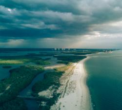
We can use drone technology to monitor and help manage coastlines, monitor rivers, erosion and floodplains, difficult to reach places of interest, help identify potential blockage points as part of flood defence programmes, provide live feed and data as part of emergency services during natural disasters, monitor pollution and more.
Caelus Drones - Disaster Management
Price: CALL FOR ASSISTANCE
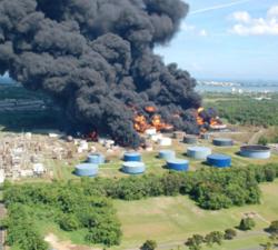
We can mobilise ourselves 24 hours a day often at short notice, so we can assist in the event of any emergencies.
Caelus Drones - Photography & Media
Price: CALL FOR ASSISTANCE
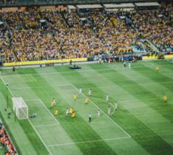
The original application for drone services!
Caelus Drones - Surveillance
Price: CALL FOR ASSISTANCE
If you have a requirement to monitor and track high-value assets, please get in touch.
Caelus Drones - Industrial Inspections
Price: CALL FOR ASSISTANCE
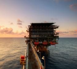
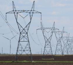
We can inspect renewable energy sources such as wind turbines and solar panels, tunnels, bridges, oil rigs, telecoms, pipelines, pylons, tall buildings and more. The list is endless and only limited by the regulations we must follow.
Caelus Drones - Industrial Surveys
Price: CALL FOR ASSISTANCE
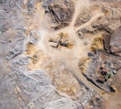
We can provide highly accurate data for surveys.


