- Environmental Services

Caelus Drones - Environmental Services
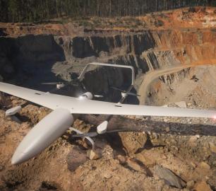
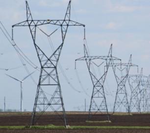
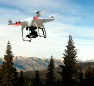
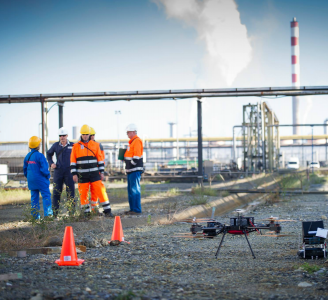
We can use drone technology to monitor and help manage coastlines, monitor rivers, erosion and floodplains, difficult to reach places of interest, help identify potential blockage points as part of flood defence programmes, provide live feed and data as part of emergency services during natural disasters, monitor pollution and more.
The Detail
If you can think of an application for drone technology but not sure how to start, call us to discuss and we will help you assess suitability and develop test data and trials.
You may also like
Teal Consulting

Operational Excellence
CALL FOR ASSISTANCE
Teal Consulting - Operational ExcellenceOperational excellence is crucial to businesses achieving
Product DetailDRONE TRACKING TECHNOLOGIES
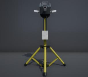
The P-Series VAD drone detection system
CALL FOR ASSISTANCE
The P-Series VAD drone detection system
Product DetailHeven Drones
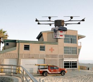
H100
CALL FOR ASSISTANCE
The H100 represents the beginning of Hevens heavy lifter drones.
Product DetailDRONE TRACKING TECHNOLOGIES
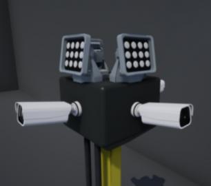
The F-Series VAD drone detection system
CALL FOR ASSISTANCE
The F-Series VAD drone detection system.
Product DetailtlmNexus Ltd
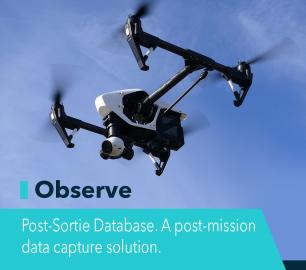
OBSERVE
CALL FOR ASSISTANCE
Tool overview: what will Observe -Post-Sortie Database solve for me?Designed by pilots for pi
Product DetailtlmNexus Ltd
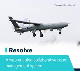
RESOLVE
CALL FOR ASSISTANCE
Tool overview: what will Resolve solve for me?Equipment issues that affect airworthiness, saf
Product DetailCaelus Drones
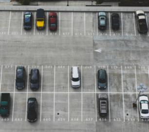
Surveillance
CALL FOR ASSISTANCE
If you have a requirement to monitor and track high-value assets, please get in touch.
Product DetailTeal Consulting

Developing Collaborative Business Relationships
CALL FOR ASSISTANCE
Developing Collaborative Business Relationships - ISO 44001Organisations have long recognised tha
Product DetailCaelus Drones
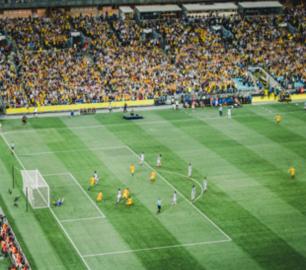
Photography & Media
CALL FOR ASSISTANCE
The original application for drone services!
Product DetailMicrobyte Solutions Ltd
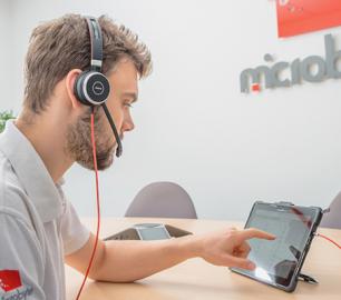
Telecoms
CALL FOR ASSISTANCE
Complete telecoms for a fixed monthly feeWhen it comes to business grade telephone solutions,
Product DetailHeven Drones
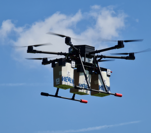
Urban Heven
CALL FOR ASSISTANCE
The Urban Heven is an advanced stage hexacopter drone capable of serving multiple mission types.
Product Detail


