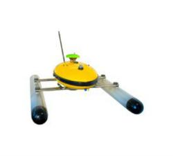
AiDrones - Sonoboat
Price: CALL FOR ASSISTANCE
The Sonoboat is a cartographic surveying vehicle, capable of autonomous and remotely controlled operation. It is ideal for missions in hard to reach or dangerous locations. The ease of deployment and compact size significantly reduce the costs of waterbody mapping and similar applications.
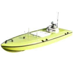
AiDrones - AxBoat
Price: CALL FOR ASSISTANCE
The AxBoat is an autonomous, versatile and highly maneuverable survey vehicle equipped with innovative ultrasonic sound sensor technology for mapping and surveying of rivers, lakes, harbors and shallow ocean bottoms.
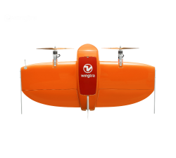
Wingtra - WingtraOne
Price: CALL FOR ASSISTANCE
Meet the WingtraOne: a professional drone that simplifies mapping and surveying through easy and smart aerial data collection.
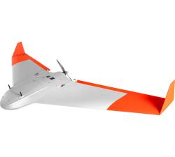
AeroTerrascan - Ai450-ER
Price: CALL FOR ASSISTANCE
Unmanned aircraft systems (UAVs) Ai450 series is a flagship model by AeroTerrascan which is a popular solution among palm oil plantations in Indonesia to meet the needs of survey applications and air mapping. Variant Ai450-ER is the latest evolution of the Ai450 series which has better flying performance than previous variants.
Aero Enterprise - Aero-Software Package
Price: CALL FOR ASSISTANCE
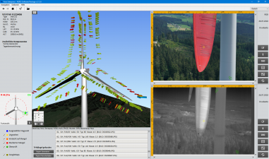
The self-developed AERO-Software Package enables an efficient asset management with AERO-View - for a preview of the results – and AERO-Lyse – for allocation of anomalies, assessment of damages and documentation.


