Caelus Drones - Disaster Management
Price: CALL FOR ASSISTANCE
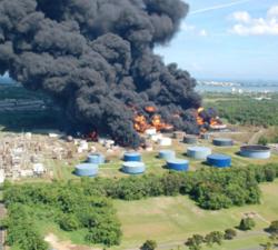
We can mobilise ourselves 24 hours a day often at short notice, so we can assist in the event of any emergencies.
Caelus Drones - Environmental Services
Price: CALL FOR ASSISTANCE
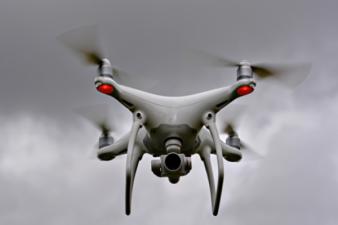
We can use drone technology to monitor and help manage coastlines, monitor rivers, erosion and floodplains, difficult to reach places of interest, help identify potential blockage points as part of flood defence programmes, provide live feed and data as part of emergency services during natural disasters, monitor pollution and more.
Aero Enterprise - Engineering
Price: CALL FOR ASSISTANCE
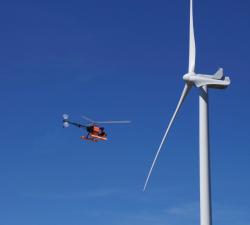
Aero Enterprise supports the customer during UAV projects like development of special UAVs, certificates of airworthiness and documentation as well as external payloads.
Aero Enterprise - Inspection
Price: CALL FOR ASSISTANCE
All high-resolution image data of the inspected objects are recorded using the self-developed AERO-SensorCopter®, which is specially designed to perform under harsh offshore weather and wind conditions.
Mirragin RAS Consulting - RPAS Consultant
Price: CALL FOR ASSISTANCE
Professional RPAS Technology Unmanned Systems Consultant. A recent PwC report estimated that the global market for applications of Commercial Remotely Piloted Aircraft Systems (RPAS) will reach $127 Billion by 2020, including industries such as:.
Terabee - Intelligence for Drone Applications
Price: CALL FOR ASSISTANCE
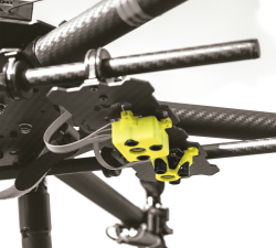
Terabee welcomes collaboration from partners looking for innovation in sensing and intelligence for drone applications! Our technical expertise includes drone-optimized “indoor GPS” for GPS-denied environments, sensor fusion, algorithms, control system development, custom sensor design, sensor industrialization and integration into customer platforms.
Digital Drone Services - Agricultural Services
Price: CALL FOR ASSISTANCE
Making life easier by performing agricultural surveys to increase yield or quality on crops, or for a number of other applications.
GeoAccess - Plant Health & Invasive Species Mapping
Price: CALL FOR ASSISTANCE
Aerial mapping can quickly and efficiently provide a means to assess the health and condition of a wide range of vegetation types and identify invasive species. The maps are a powerful tool for agronomists, farmers, growers and vegetation management teams to locate areas of concern quickly and allow ground-truthing to determine the problems and remedy the situation in much quicker time and make significant cost-savings.


