- Plant Health & Invasive Species Mapping
GeoAccess - Plant Health & Invasive Species Mapping
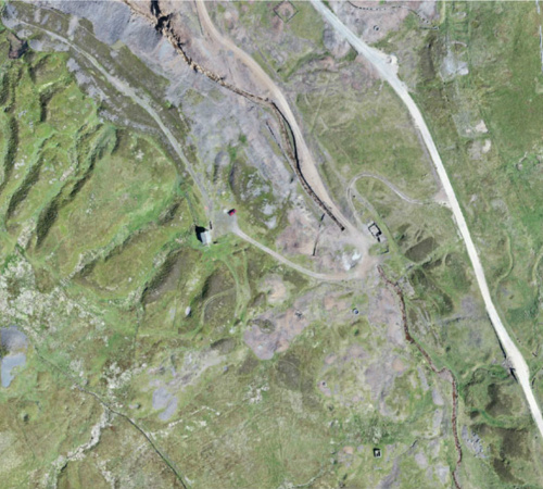
Aerial mapping can quickly and efficiently provide a means to assess the health and condition of a wide range of vegetation types and identify invasive species. The maps are a powerful tool for agronomists, farmers, growers and vegetation management teams to locate areas of concern quickly and allow ground-truthing to determine the problems and remedy the situation in much quicker time and make significant cost-savings.
The Detail
Visible-spectrum images captured by the drone can be used to produce plant health maps using the Visible Atmospheric Resistant Index (VARI). Used in conjunction with a high-resolution ortho-mosaic this enables a snapshot of the health and condition of a wide range of vegetation types to be obtained in relatively short time. Plant health maps can be exported as several file formats, including shapefile (.shp) for use in agricultural software; GeoTIFF for GIS and JPEG for general viewing, for use in:
Agriculture
Forestry & woodland management
Site investigation – surface and shallow contamination affecting plant health (phytotoxic metals and substances)
Identification, localisation, control and eradication of invasive species
GeoAccess are currently working in partnership with Kraven Enterprises at to provide aerial detection and ground management of invasive plant species, including Japanese Knotweed, Giant Hogweed and Himalayan Balsam.
You may also like
tlmNexus Ltd
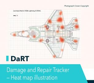
DAMAGE AND REPAIR TRACKER (DaRT)
CALL FOR ASSISTANCE
A popular consultancy and software solutionYour entire system’s damage and repair can be recorde
Product DetailALTI

Reach - VTOL UAV
CALL FOR ASSISTANCE
The ALTI Reach is the upcoming 'bigger brother' to the ALTI Transition.
Product DetailHeven Drones

H250
CALL FOR ASSISTANCE
The H250 will be the workhorse of Heven’s heavy lifting drones.
Product DetailMicrobyte Solutions Ltd

White Label 24/7 IT Helpdesk
CALL FOR PRICE
You can outsource your IT Helpdesk from only £500 a month.Microbyte White Label boosts your suppo
Product DetailTeal Consulting

Developing Collaborative Business Relationships
CALL FOR ASSISTANCE
Developing Collaborative Business Relationships - ISO 44001Organisations have long recognised tha
Product DetailMicrobyte Solutions Ltd

Telecoms
CALL FOR ASSISTANCE
Complete telecoms for a fixed monthly feeWhen it comes to business grade telephone solutions,
Product DetailTeal Consulting

Operational Excellence
CALL FOR ASSISTANCE
Teal Consulting - Operational ExcellenceOperational excellence is crucial to businesses achieving
Product DetailHeven Drones
H100
CALL FOR ASSISTANCE
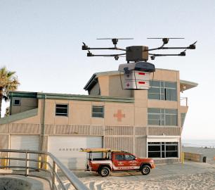
The H100 represents the beginning of Hevens heavy lifter drones.
Product DetailtlmNexus Ltd
RESOLVE
CALL FOR ASSISTANCE
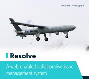
Tool overview: what will Resolve solve for me?Equipment issues that affect airworthiness, saf
Product DetailtlmNexus Ltd
OBSERVE
CALL FOR ASSISTANCE
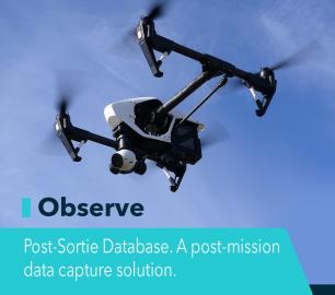
Tool overview: what will Observe -Post-Sortie Database solve for me?Designed by pilots for pi
Product Detail


