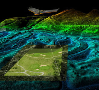
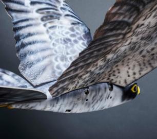
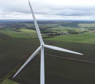
GeoAccess - Mapping & 3D Modelling
Our Principal Pilot has successfully completed a dedicated drone mapping course given by an ex-Royal Air Force aerial imaging and spatial analyst with 25 years of knowledge and experience in this highly specialist field. We can offer 2D mapping (ortho-mosaics) at various levels of resolution, with high relative accuracy and export the finished products in a variety of formats, depending upon client requirements. 3D models can be viewed in Sketch Fab and embedded directly in a webpage.
The Detail
Point clouds can be created from the 3D models and exported as LAS files for use in CAD software.
Applications of ortho-mosaics:
Applications of ortho-mosaics:
An overview of large roof areas for commercial, industrial and retail premises to aid in inspections
Reconnaissance of land for site investigation: access points, limited clearance, traffic routes, compound and laydown area selection, waste/fly-tipping, areas of surface contamination, poorly drained ground
Pre-construction/site set-up stage: access points, limited clearance, traffic routes, locating site offices and parking areas
Construction: site layout planning, documenting construction progress, materials and waste storage area selection and monitoring, identifying on-site issues such as traffic route degradation, housekeeping, drainage problems
Demolition: planning and visualisation, access, progress monitoring, recyclable and non-recyclable waste segregation and stockpiling
Relative measurements of length, area and volume
Applications of 3D models:
Applications of 3D models:
Earthwork, slope and rock face failures: determine causes and mechanisms involved; planning of repair/remedial works
Construction: documenting construction progress, a model of the completed build
Demolition: visualisation of building/structure to aid in planning, methodology and risk assessment
Visualisation for promotional and marketing purposes
Generation of dense point clouds for use in CAD software
You may also like

tlmNexus Ltd
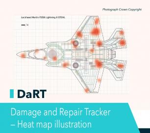
DAMAGE AND REPAIR TRACKER (DaRT)
CALL FOR ASSISTANCE
A popular consultancy and software solutionYour entire system’s damage and repair can be recorde
Product DetailDRONE TRACKING TECHNOLOGIES
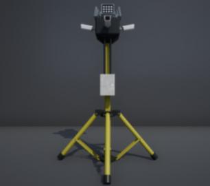
The P-Series VAD drone detection system
CALL FOR ASSISTANCE
The P-Series VAD drone detection system
Product Detail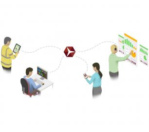
Heven Drones
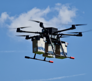
H250
CALL FOR ASSISTANCE
The H250 will be the workhorse of Heven’s heavy lifting drones.
Product DetailHeven Drones
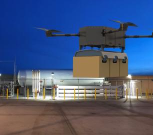
Urban Heven
CALL FOR ASSISTANCE
The Urban Heven is an advanced stage hexacopter drone capable of serving multiple mission types.
Product Detail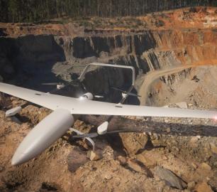
Microbyte Solutions Ltd
White Label 24/7 IT Helpdesk
CALL FOR PRICE
You can outsource your IT Helpdesk from only £500 a month.Microbyte White Label boosts your suppo
Product Detail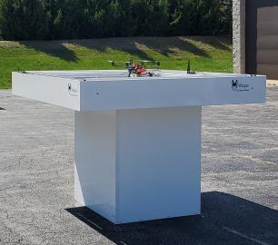
tlmNexus Ltd
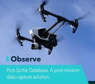
OBSERVE
CALL FOR ASSISTANCE
Tool overview: what will Observe -Post-Sortie Database solve for me?Designed by pilots for pi
Product DetailTeal Consulting

Developing Collaborative Business Relationships
CALL FOR ASSISTANCE
Developing Collaborative Business Relationships - ISO 44001Organisations have long recognised tha
Product DetailHeven Drones
H100
CALL FOR ASSISTANCE
The H100 represents the beginning of Hevens heavy lifter drones.
Product DetailTeal Consulting

Operational Excellence
CALL FOR ASSISTANCE
Teal Consulting - Operational ExcellenceOperational excellence is crucial to businesses achieving
Product DetailtlmNexus Ltd
EVIDENCE DOCUMENT BUILDER
CALL FOR ASSISTANCE
Tool overview: what will Evidence Document Builder (EDB) solve for me? Complying with t
Product DetailMicrobyte Solutions Ltd

Telecoms
CALL FOR ASSISTANCE
Complete telecoms for a fixed monthly feeWhen it comes to business grade telephone solutions,
Product Detail