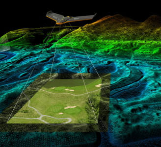
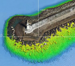
Skeye - UAV LiDAR
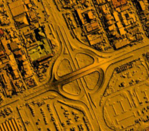
Skeye recently added a new sensor for recording geodata in addition to existing sensors such as daylight, near infrared and thermal cameras. The sensor is the YellowScan Surveyor which is capable of making very accurate and dense data points.
The Detail
These point clouds are the basis for making a large number of end products such as:
3D terrain models of a terrain
3D Terrain Models where "non-ground" objects such as trees etc. can be removed
Volume calculations of raw materials
3D models of buildings or industrial installations
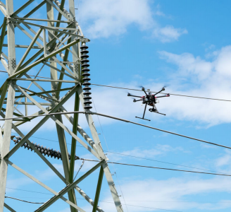
Mapping of small objects such as high voltage lines
A LiDAR sensor has a number of characteristic advantages over a photogrammetric solution such as measuring ground level under trees and mapping of small objects that are not otherwise seen.
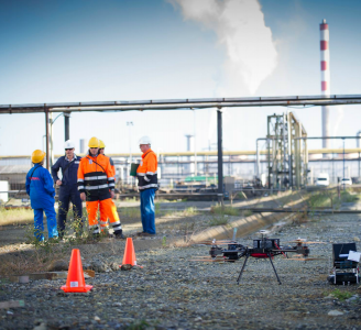
The YellowScan LiDAR system has the following features:
Equipped with a RTK and PPK GNSS system for a very accurate location.
Multi-return laser scanner that can better map the ground level under vegetation;
High-quality stand and orientation meter (IMU) that allows to measure with an accuracy of 5 cm.
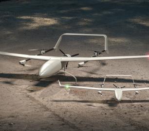
The LiDAR system will be flown on an Altura Zenith ATX8 drone or another SKEye used UAV. Under normal circumstances, the ideal flight height is 55 meters, which can accommodate an equally wide strip.
You may also like
Microbyte Solutions Ltd
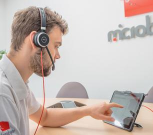
Telecoms
CALL FOR ASSISTANCE
Complete telecoms for a fixed monthly feeWhen it comes to business grade telephone solutions,
Product Detail
tlmNexus Ltd
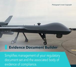
EVIDENCE DOCUMENT BUILDER
CALL FOR ASSISTANCE
Tool overview: what will Evidence Document Builder (EDB) solve for me? Complying with t
Product Detail
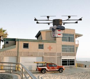
DRONE TRACKING TECHNOLOGIES
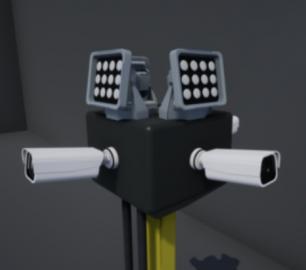
The F-Series VAD drone detection system
CALL FOR ASSISTANCE
The F-Series VAD drone detection system.
Product DetailValqari
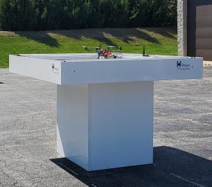
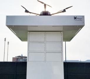
Valqari Single Locker (DevKit) Drone Delivery Station
CALL FOR ASSISTANCE
The Valqari single locker (DevKit) drone delivery station, enables full autonomous point-to-poi
Product Detail
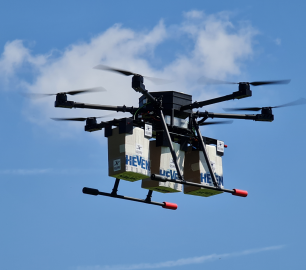
Heven Drones
H100
CALL FOR ASSISTANCE
The H100 represents the beginning of Hevens heavy lifter drones.
Product DetailMicrobyte Solutions Ltd
White Label 24/7 IT Helpdesk
CALL FOR PRICE
You can outsource your IT Helpdesk from only £500 a month.Microbyte White Label boosts your suppo
Product Detail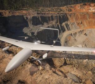
Teal Consulting

Operational Excellence
CALL FOR ASSISTANCE
Teal Consulting - Operational ExcellenceOperational excellence is crucial to businesses achieving
Product DetailHeven Drones
Urban Heven
CALL FOR ASSISTANCE
The Urban Heven is an advanced stage hexacopter drone capable of serving multiple mission types.
Product Detail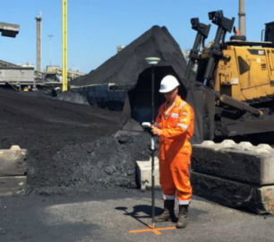
ALTI
Reach - VTOL UAV
CALL FOR ASSISTANCE
The ALTI Reach is the upcoming 'bigger brother' to the ALTI Transition.
Product Detail