- Volume Computations
Skeye - Volume Computations
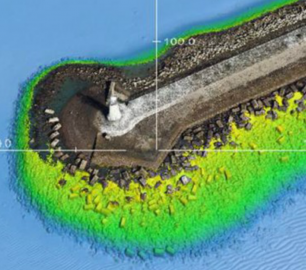
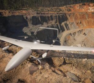
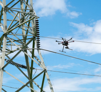
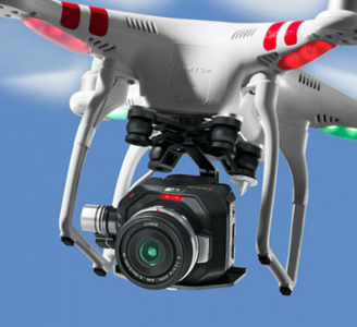
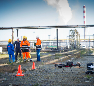
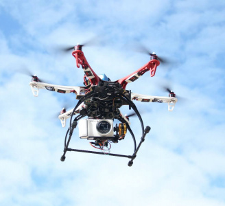
Skeye specializes in the accurate measurement of stocks or mountains stored material using unmanned helicopters (drones). These are equipped with a 36Mp digital camera and geometrically calibrated to perform measurements. These measurements are based on the photogrammetric principle whereby terrain heights can be calculated in the overlapping portion of photographs taken from another point of view.
The Detail
his method gives the following advantages over traditional land survey methods:
Safety: There is no need for people to climb the mountains to perform measurements;
Quick: It is possible to measure up to 100 ha in one day;
Accurate: Under normal conditions, accuracy of 20 mm is achieved;
Complete: This method can yield up to 100 highlights per square meter, resulting in fuller and thus more reliable results;
Skeye has already carried out many projects on a wide variety of materials, ranging from coal, sand, ore, old iron to car tires.
We can deliver the results of the measurements in different ways. This varies from a paper report with a stock of stocks and the calculated quantities to digital cards and 3D models of stocks. On average, half is needed to get a reliable result from the raw photos.
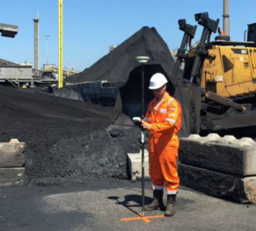
Prior to flights with the little drone, land checkpoints are placed in the vicinity of the storage bays. These are measured by using RTK GPS and are required to perform accurate calculations. In addition, Skeye always measures a number of verification points to show the quality of the calculations.
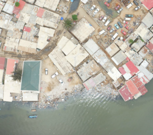
During the flight with the drone, photographs are made as part of an automated flight path. The positions where the photos are made is chosen to create a certain overlap between the pictures.
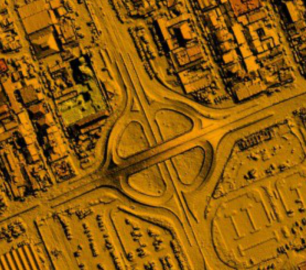
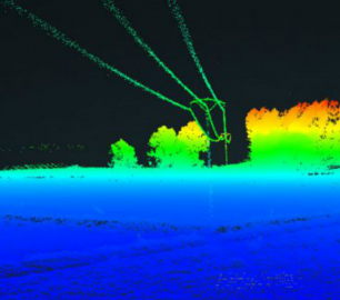
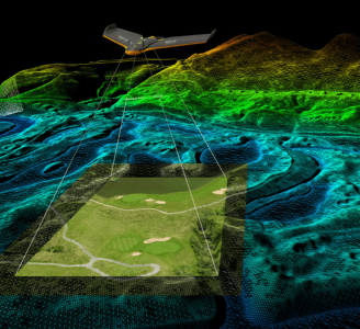
The images are processed at the office using specialized software making a point cloud with height measurements. At least 10 points per square meter are generated, but this can soon rise to 100 points per square meter.
This point cloud is then checked by comparing it with the verification measurements included in the field. Hereby, the calculated height is compared to the measured height in the field by means of the GPS.
If the quality is shown, then the volume of the stockberg can be calculated by making a 3D model of the point cloud. Before the volumes are determined, it is important to be well-judged against which reference level the volumes must be measured. Is this a level of x meters above NAP or the stocks in a bin that have to be modeled.
You may also like
DRONE TRACKING TECHNOLOGIES
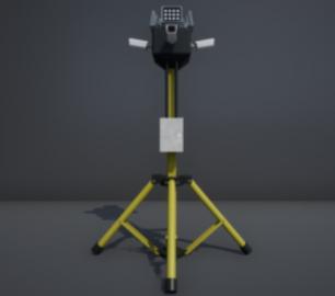
The P-Series VAD drone detection system
CALL FOR ASSISTANCE
The P-Series VAD drone detection system
Product DetailtlmNexus Ltd
EVIDENCE DOCUMENT BUILDER
CALL FOR ASSISTANCE
Tool overview: what will Evidence Document Builder (EDB) solve for me? Complying with t
Product DetailALTI
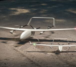
Reach - VTOL UAV
CALL FOR ASSISTANCE
The ALTI Reach is the upcoming 'bigger brother' to the ALTI Transition.
Product DetailMicrobyte Solutions Ltd

Telecoms
CALL FOR ASSISTANCE
Complete telecoms for a fixed monthly feeWhen it comes to business grade telephone solutions,
Product DetailDRONE TRACKING TECHNOLOGIES
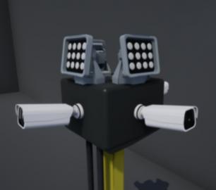
The F-Series VAD drone detection system
CALL FOR ASSISTANCE
The F-Series VAD drone detection system.
Product DetailtlmNexus Ltd
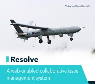
RESOLVE
CALL FOR ASSISTANCE
Tool overview: what will Resolve solve for me?Equipment issues that affect airworthiness, saf
Product DetailHeven Drones
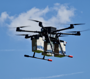
Urban Heven
CALL FOR ASSISTANCE
The Urban Heven is an advanced stage hexacopter drone capable of serving multiple mission types.
Product DetailTeal Consulting

Developing Collaborative Business Relationships
CALL FOR ASSISTANCE
Developing Collaborative Business Relationships - ISO 44001Organisations have long recognised tha
Product DetailHeven Drones
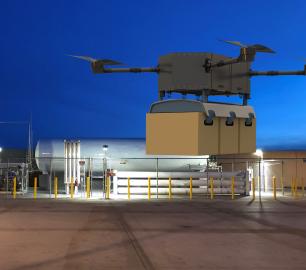
H250
CALL FOR ASSISTANCE
The H250 will be the workhorse of Heven’s heavy lifting drones.
Product DetailtlmNexus Ltd
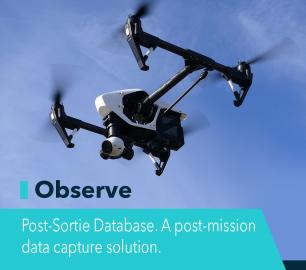
OBSERVE
CALL FOR ASSISTANCE
Tool overview: what will Observe -Post-Sortie Database solve for me?Designed by pilots for pi
Product Detail


