GeoAccess - Underwater Inspections
Price: CALL FOR ASSISTANCE
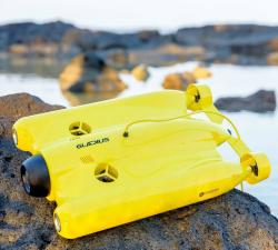
Once the preserve of traditional remotely operated vehicles (ROVs), GeoAccess can now offer underwater inspections, photography and video with our submersible drone, the Chasing-Innovation Gladius V2. We strongly believe that we can offer a cost-effective, comprehensive underwater inspection service, providing high-resolution photography and 4K video, without compromising quality and safety, and without having to rely on larger, cumbersome, less manoeuvrable ROVs.
Air Control Entech - UAV Inspection
Price: CALL FOR ASSISTANCE
Air Control Entech have a proven track record of successfully delivering high-quality results when applying UAV (drone) technology for visual inspection work scopes. Smaller teams are delivering faster, accurate and cost-efficient data to our clients in the Oil & Gas Sector.
GeoAccess - Interior & Confined Space Aerial Inspections
Price: CALL FOR ASSISTANCE
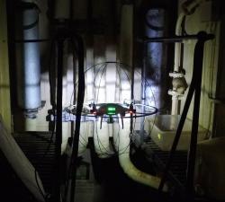
GeoAccess are always ready to embrace new technology and innovative designs, to that end we have recently acquired a collision-resistant cage for our DJI Phantom 4 Pro by DRONECAGE to enable us to safely conduct inspections in locations that are difficult to access, and certain types of confined spaces.
GeoAccess - Aerial Inspections
Price: CALL FOR ASSISTANCE
GeoAccess can offer a stand-alone UAV inspection service and also integrated UAV plus rope-access teams, depending upon the requirements of the inspection. Our flight-crews and rope-access technicians are from similar professional backgrounds, have shared knowledge and experience that allows them to work together seamlessly and efficiently.
Skeye - Drone Inspections
Price: CALL FOR ASSISTANCE
Skeye's unmanned aircraft (drones) are able to reach those places that are difficult, expensive, dangerous, 'live' or even impossible for manned inspection teams.
Terabee - Intelligence for Drone Applications
Price: CALL FOR ASSISTANCE
Terabee welcomes collaboration from partners looking for innovation in sensing and intelligence for drone applications! Our technical expertise includes drone-optimized “indoor GPS” for GPS-denied environments, sensor fusion, algorithms, control system development, custom sensor design, sensor industrialization and integration into customer platforms.
Caelus Drones - Industrial Inspections
Price: CALL FOR ASSISTANCE
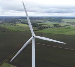
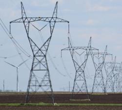
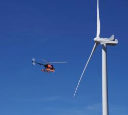
We can inspect renewable energy sources such as wind turbines and solar panels, tunnels, bridges, oil rigs, telecoms, pipelines, pylons, tall buildings and more. The list is endless and only limited by the regulations we must follow.
Aero Enterprise - Inspection
Price: CALL FOR ASSISTANCE
All high-resolution image data of the inspected objects are recorded using the self-developed AERO-SensorCopter®, which is specially designed to perform under harsh offshore weather and wind conditions.
Drone Services Ireland - Residential Inspection
Price: CALL FOR ASSISTANCE
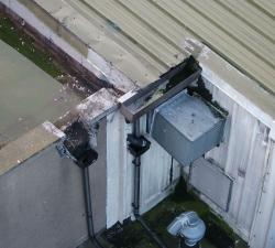
Drones have many uses for residential and commercial customers, from high roof inspections to guttering, a high-resolution map of the roof can be created, that can be zoomed and examined later. Current Aerial imaging cameras are capable of producing very high-resolution images which can be stitched together to create a map of an area or object.
Digital Drone Services - Survey & Inspection
Price: CALL FOR ASSISTANCE
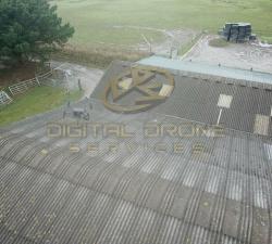
Any type of survey carried out from roof inspections to masts and towers.
Skeye - UAV LiDAR
Price: CALL FOR ASSISTANCE
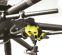
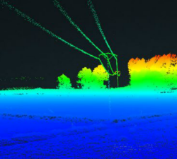
Skeye recently added a new sensor for recording geodata in addition to existing sensors such as daylight, near infrared and thermal cameras. The sensor is the YellowScan Surveyor which is capable of making very accurate and dense data points.


