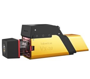
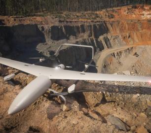
- Explorer: Versatility at its finest
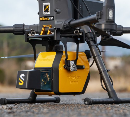
YellowScan - Explorer: Versatility at its finest
In 2017, YellowScan took part in a research project called FRELON (“French long range lidar”), funded by the European Regional Development Fund. The goal was to develop a new standard for long-range LiDAR by bringing together innovative specialists.
The Detail
YellowScan collaborated directly with Airbus Defence and Space, UAV manufacturer Delair, M3 Systems and utility end-users EDF, RTE, Enedis and SNCF to develop the next generation solution to meet their requirements.
Years of research for a unique product The Explorer is the first compact, versatile and long-range platform of its kind to hit the market.
It is the culmination of several years of research and development done by YellowScan, while closely working alongside customers and partners from around the world.
- AGL altitude 300m (985ft)
- System precision 2.6cm (1”)
- System accuracy 2.2cm (0.8 “)
- Battery weight excl. 2.3kg (5.1lbs)
Multi-platform adaptability
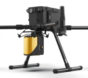
Complete more mission profiles with this compact LiDAR solution that can be mounted on light manned aircraft, helicopters or UAV platforms.
A one-of-a-kind laser scanner
We developed a unique laser scanner that met specific requirements and that could not be found in any other systems. You can select the right scanner parameter for each of your missions with the possibility to switch the kHz PRF.
When flight speed is not an issue
Flight operation speed can go up to 130 kmh (80 mph) with a flying height of up to 300m. Depending on the aircraft it's mounted on; limited flight speed is no longer a constraint to capture data
Fly high without compromising on data quality
Collecting data from a longer range will allow you to cover more area per flight and enable you to create and maintain digital twins of your assets and project sites.
Optimal vegetation penetration
Its detection and processing of up to five target echoes per laser pulse will provide you with optimal vegetation penetration and several million measurements per second.
You may also like
tlmNexus Ltd
OBSERVE
CALL FOR ASSISTANCE
Tool overview: what will Observe -Post-Sortie Database solve for me?Designed by pilots for pi
Product DetailYellowScan
Mapper - Jump into the LiDAR world
CALL FOR ASSISTANCE
Easy mapping redefined Start your LiDAR journey with our easy-to-use Mapper system. Its low weight
Product DetailMicrobyte Solutions Ltd
White Label 24/7 IT Helpdesk
CALL FOR PRICE
You can outsource your IT Helpdesk from only £500 a month.Microbyte White Label boosts your suppo
Product DetailYellowScan
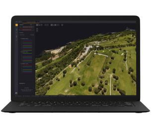
CloudStation - Turn physical projects into digital realities
CALL FOR ASSISTANCE
Product DetailYellowScan
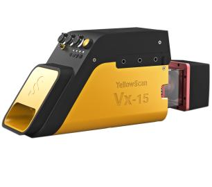
Vx15 - Made for adventurers
CALL FOR ASSISTANCE
Go from mapping inaccessible sites in the Balinese mountains to secluded areas in Chile.
Product DetailMicrobyte Solutions Ltd

Telecoms
CALL FOR ASSISTANCE
Complete telecoms for a fixed monthly feeWhen it comes to business grade telephone solutions,
Product DetailDRONE TRACKING TECHNOLOGIES
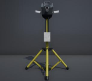
The P-Series VAD drone detection system
CALL FOR ASSISTANCE
The P-Series VAD drone detection system
Product DetailDRONE TRACKING TECHNOLOGIES
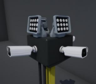
The F-Series VAD drone detection system
CALL FOR ASSISTANCE
The F-Series VAD drone detection system.
Product DetailTeal Consulting

Operational Excellence
CALL FOR ASSISTANCE
Teal Consulting - Operational ExcellenceOperational excellence is crucial to businesses achieving
Product Detail


