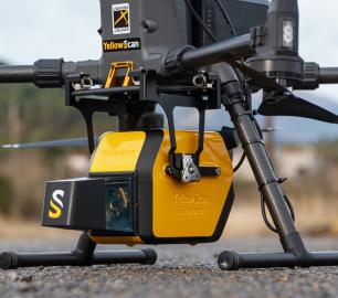
- Vx20 - The high-end Vx series made for professionals
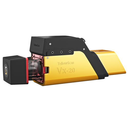
YellowScan - Vx20 - The high-end Vx series made for professionals
The Vx20 series is the ideal solution for high-flight projects with quick data processing needs thanks to the APX20. It is the most accurate system of the Vx series.
The Detail
IMU: Applanix APX20
Laser: miniVUX1-2-3
Key figures
- AGL altitude 120m (394 ft)
- System precision 1cm (0.4”)
- System accuracy 2.5cm (1“)
- Battery weight excl. 2.8kg (6.2lbs)
Key differentiators
- Highest point density of the Vx series
- Fly higher with the Vx20 series: up to 120m compared to 100m with the Vx15 series
- Increased performances in roll, pitch, and heading angles measurement
Customize your system
Choose the laser scanner that best suits your needs:
- Vx20-100 (Scanner: RIEGL miniVUX-1UAV Laser pulse: 100kHz)
- Vx20-200 (Scanner: RIEGL miniVUX-2UAV Laser pulse: 100kHz/200kHz)
- Vx20-300 (Scanner: RIEGL miniVUX-2UAV Laser pulse: 100kHz/200kHz/300kHz)
Fit for a wide variety of applications
Ideally suited for applications requiring sharp and accurate descriptions such as in urban or architectural surveys.
You may also like
Microbyte Solutions Ltd

Telecoms
CALL FOR ASSISTANCE
Complete telecoms for a fixed monthly feeWhen it comes to business grade telephone solutions,
Product DetailtlmNexus Ltd
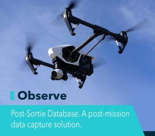
OBSERVE
CALL FOR ASSISTANCE
Tool overview: what will Observe -Post-Sortie Database solve for me?Designed by pilots for pi
Product DetailValqari
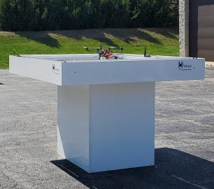
Valqari Single Locker (DevKit) Drone Delivery Station
CALL FOR ASSISTANCE
The Valqari single locker (DevKit) drone delivery station, enables full autonomous point-to-poi
Product DetailHeven Drones
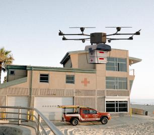
H100
CALL FOR ASSISTANCE
The H100 represents the beginning of Hevens heavy lifter drones.
Product DetailTeal Consulting

Operational Excellence
CALL FOR ASSISTANCE
Teal Consulting - Operational ExcellenceOperational excellence is crucial to businesses achieving
Product DetailMicrobyte Solutions Ltd
White Label 24/7 IT Helpdesk
CALL FOR PRICE
You can outsource your IT Helpdesk from only £500 a month.Microbyte White Label boosts your suppo
Product DetailHeven Drones
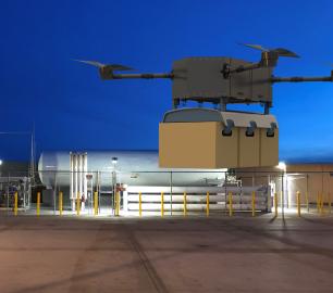
H250
CALL FOR ASSISTANCE
The H250 will be the workhorse of Heven’s heavy lifting drones.
Product DetailYellowScan
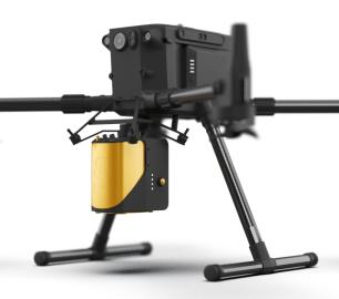
Mapper - Jump into the LiDAR world
CALL FOR ASSISTANCE
Easy mapping redefined Start your LiDAR journey with our easy-to-use Mapper system. Its low weight
Product DetailDRONE TRACKING TECHNOLOGIES
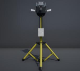
The P-Series VAD drone detection system
CALL FOR ASSISTANCE
The P-Series VAD drone detection system
Product DetailtlmNexus Ltd
RESOLVE
CALL FOR ASSISTANCE
Tool overview: what will Resolve solve for me?Equipment issues that affect airworthiness, saf
Product DetailHeven Drones
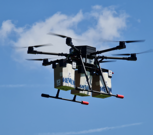
Urban Heven
CALL FOR ASSISTANCE
The Urban Heven is an advanced stage hexacopter drone capable of serving multiple mission types.
Product DetailYellowScan
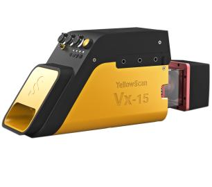
Vx15 - Made for adventurers
CALL FOR ASSISTANCE
Go from mapping inaccessible sites in the Balinese mountains to secluded areas in Chile.
Product Detail


