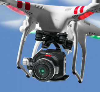
- Fly&Drive - Fly when you can. Drive when you must.
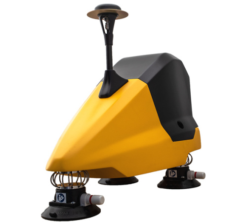
YellowScan - Fly&Drive - Fly when you can. Drive when you must.
A multi-platform LiDAR for geospatial survey scanning from air to ground.
The Detail
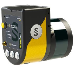
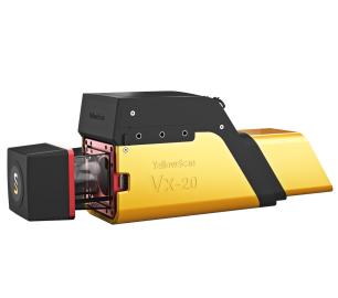
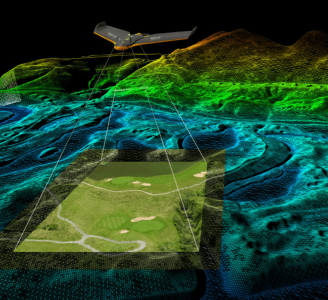
The Fly & Drive is a versatile, land vehicle-mounted or UAV-mounted, mobile mapping system that combines high-resolution laser scanning and precise positioning to collect geo-referenced pointclouds.
- Typ. Driving speed <50km/h (30mph)
- System precision <10cm (4”)
- System accuracy <5cm (2“)
- Max range <200m (650 ft)
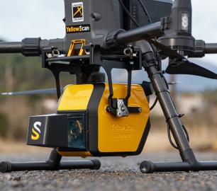
Easy swapping from land vehicle to UAV
The Fly & Drive car pod can be mounted to any land vehicle. The specially designed bracket allows for smooth and quick swapping from the car pod to any UAV.
Mobile mapping & aerial survey using the same LiDAR
The setup consists of:
- A LiDAR unit + a car pod + adaptable bracket + GNSS antenna
The mobile mapping kit includes:
- A 4-kg car pod for mobile mapping with 3 built-in suction cups, a wire rope vibration isolator system, a GNSS antenna, and a roof bar
- A wheel-mounted odometer to measure the distance driven to improve final trajectory data
- A specific dual-use dynamic model for mobile/UAV mapping
- An external power supply with a cable connected to the car cigarette lighter socket
- The LiveStation software for live visualization. Start the acquisition through the LiveStation without having to get out of the car.
Multi-scope mobile (ground) and UAV (airborne) mapping systems
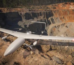
The system can be rapidly deployed on off-road and on-road vehicles as well as on all types of UAV (multicopter, traditional, and VTOL fixed-wing). This flexibility allows you to expand your range of applications which will increase your return on investment and thereby decrease the system’s payback period.
Precision positioning using high-end GNSS and IMU coupled system
The YellowScan Surveyor Ultra integrates the Applanix APX-15 IMU, a high-performance Direct Georeferencing solution for improved efficiency and accuracy.
A high-frequency laser scanner for high point density
The new and improved second-generation Surveyor Ultra integrates Hesai’s XT32M2X scanner, ideally suited for high-speed and long-range needs due to its high-density specifications.
You may also like
tlmNexus Ltd
RESOLVE
CALL FOR ASSISTANCE
Tool overview: what will Resolve solve for me?Equipment issues that affect airworthiness, saf
Product DetailYellowScan
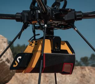
Voyager - Precision meets reality
CALL FOR ASSISTANCE
The YellowScan Voyager is our highest range LiDAR solution with a range of up to 760m (2493 ft.)
Product DetailHeven Drones
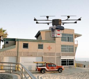
H100
CALL FOR ASSISTANCE
The H100 represents the beginning of Hevens heavy lifter drones.
Product DetailDRONE TRACKING TECHNOLOGIES
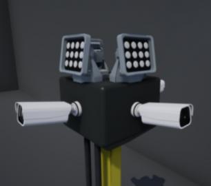
The F-Series VAD drone detection system
CALL FOR ASSISTANCE
The F-Series VAD drone detection system.
Product DetailTeal Consulting

Operational Excellence
CALL FOR ASSISTANCE
Teal Consulting - Operational ExcellenceOperational excellence is crucial to businesses achieving
Product DetailMicrobyte Solutions Ltd

Telecoms
CALL FOR ASSISTANCE
Complete telecoms for a fixed monthly feeWhen it comes to business grade telephone solutions,
Product DetailMicrobyte Solutions Ltd
White Label 24/7 IT Helpdesk
CALL FOR PRICE
You can outsource your IT Helpdesk from only £500 a month.Microbyte White Label boosts your suppo
Product DetailYellowScan
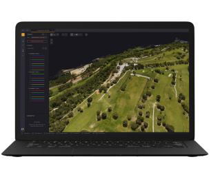
CloudStation - Turn physical projects into digital realities
CALL FOR ASSISTANCE
Product DetailDRONE TRACKING TECHNOLOGIES
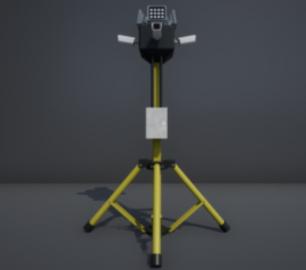
The P-Series VAD drone detection system
CALL FOR ASSISTANCE
The P-Series VAD drone detection system
Product Detail


