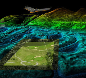
- Voyager - Precision meets reality
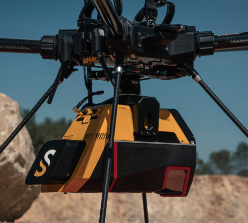
YellowScan - Voyager - Precision meets reality
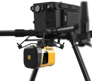
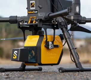
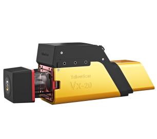
The YellowScan Voyager is our highest range LiDAR solution with a range of up to 760m (2493 ft.)
The Detail
Voyager, is designed for those who need less than 1cm precision and the ability to efficiently cover complex and vertical targets with ease.
Key figures
- AGL altitude 440m (1445 ft)
- System precision 0.5cm (0.2”)
- System accuracy 1cm (0.4“)
- Battery weight excl. 3.5kg (7.7lbs)
Multi-platform adaptability
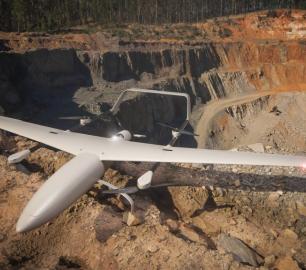
Complete more mission profiles with this compact LiDAR solution that can be mounted on light-manned aircraft, helicopters, or UAV platforms.
Be more productive in the field
Its laser scanner's 100° field of view and extremely fast data acquisition rate of up to 1800 kHz, make this solution the best option for projects requiring the highest point density.
No loss of points
The Voyager captures 1.5 million useable points per second, a feature that would be impossible for a 360˚ scanner.
With the 100°scanner, the entirety of the points is oriented towards the ground, meaning no loss of points.
Unparalleled vegetation penetration
Its detection and processing of up to 15 target echoes per laser pulse will provide you with unparalleled vegetation penetration and several million measurements per second.
Personalize your laser specs
The Voyager’s laser scanner's specs can be personalized to fit your different project and platform needs.
You may also like
tlmNexus Ltd
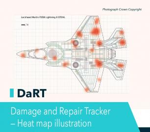
DAMAGE AND REPAIR TRACKER (DaRT)
CALL FOR ASSISTANCE
A popular consultancy and software solutionYour entire system’s damage and repair can be recorde
Product DetailValqari
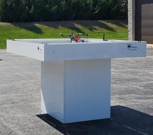
Valqari Single Locker (DevKit) Drone Delivery Station
CALL FOR ASSISTANCE
The Valqari single locker (DevKit) drone delivery station, enables full autonomous point-to-poi
Product DetailtlmNexus Ltd
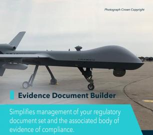
EVIDENCE DOCUMENT BUILDER
CALL FOR ASSISTANCE
Tool overview: what will Evidence Document Builder (EDB) solve for me? Complying with t
Product DetailDRONE TRACKING TECHNOLOGIES
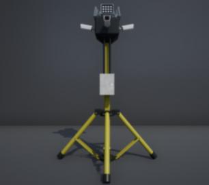
The P-Series VAD drone detection system
CALL FOR ASSISTANCE
The P-Series VAD drone detection system
Product DetailYellowScan
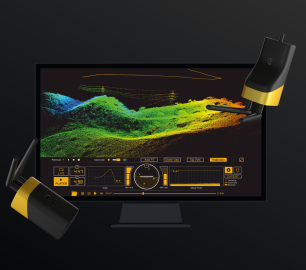
LiveStation - Real time in-flight monitoring solution
CALL FOR ASSISTANCE
A must for long endurance or complex LiDAR flightsThe YellowScan LiveStation enables you to monitor
Product DetailHeven Drones
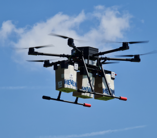
Urban Heven
CALL FOR ASSISTANCE
The Urban Heven is an advanced stage hexacopter drone capable of serving multiple mission types.
Product DetailDRONE TRACKING TECHNOLOGIES
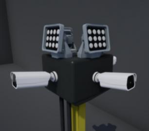
The F-Series VAD drone detection system
CALL FOR ASSISTANCE
The F-Series VAD drone detection system.
Product DetailYellowScan
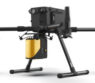
Mapper - Jump into the LiDAR world
CALL FOR ASSISTANCE
Easy mapping redefined Start your LiDAR journey with our easy-to-use Mapper system. Its low weight
Product DetailMicrobyte Solutions Ltd
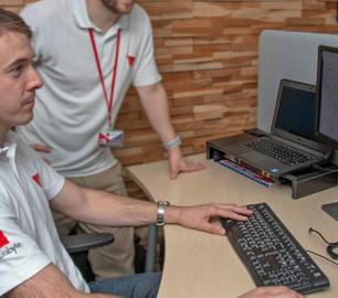
White Label 24/7 IT Helpdesk
CALL FOR PRICE
You can outsource your IT Helpdesk from only £500 a month.Microbyte White Label boosts your suppo
Product DetailTeal Consulting

Operational Excellence
CALL FOR ASSISTANCE
Teal Consulting - Operational ExcellenceOperational excellence is crucial to businesses achieving
Product Detail


