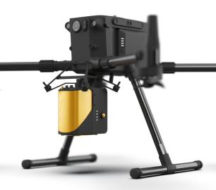
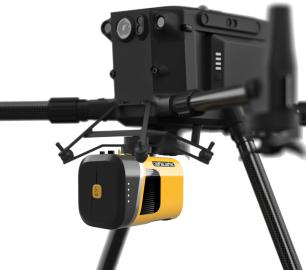
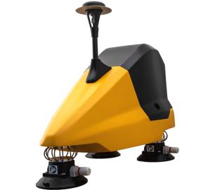
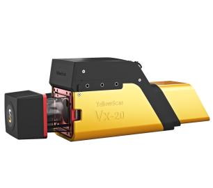
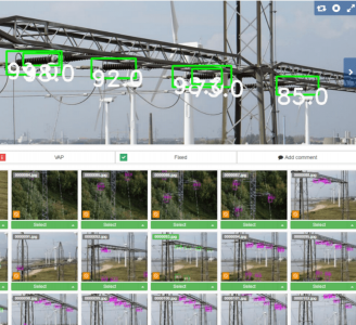
- LiveStation - Real time in-flight monitoring solution
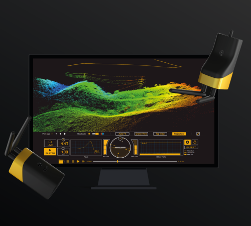
YellowScan - LiveStation - Real time in-flight monitoring solution
A must for long endurance or complex LiDAR flights
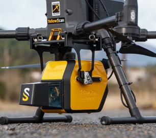
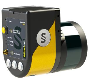
The YellowScan LiveStation enables you to monitor in real-time the validity and quality of the data being collected by YellowScan LiDAR systems.
The Detail
Live 3D pointcloud visualization
The LiveStation provides system operators with the immediate and relevant information needed to ensure a smooth acquisition even in difficult working conditions.
View your LiDAR data in real time
The LiveStation provides a three-dimensional representation of the pointcloud during flight, with the ability to zoom, translate or rotate.
Cutting edge visualization design
The user interface gives you an immediate summary of the system’s status. The transect view easily allows the operator to check in real-time whether the LiDAR can penetrate a forest’s canopy and sample the ground.
- Live visualization
Pointcloud (top or 3D view), Flight trajectory, Transect (LiDAR position, first and last echoes)
- Mission replay
Missions can later be replayed for analyzing flight conditions and data.
- Navigation controls & status
IMU & GNSS, Speed, flight height & attitude, Elapsed Time, Radio signal
- Viewer parameters
Point size and color, quick preset views
You may also like
YellowScan
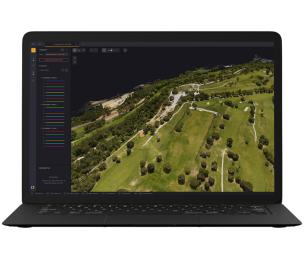
CloudStation - Turn physical projects into digital realities
CALL FOR ASSISTANCE
Product DetailHeven Drones
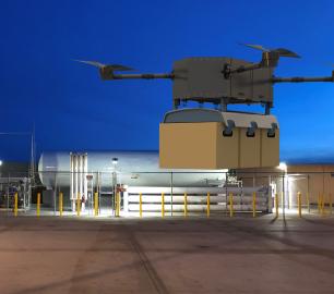
H250
CALL FOR ASSISTANCE
The H250 will be the workhorse of Heven’s heavy lifting drones.
Product DetailMicrobyte Solutions Ltd

Telecoms
CALL FOR ASSISTANCE
Complete telecoms for a fixed monthly feeWhen it comes to business grade telephone solutions,
Product DetailYellowScan
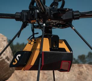
Voyager - Precision meets reality
CALL FOR ASSISTANCE
The YellowScan Voyager is our highest range LiDAR solution with a range of up to 760m (2493 ft.)
Product DetailYellowScan
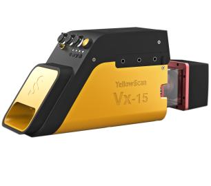
Vx15 - Made for adventurers
CALL FOR ASSISTANCE
Go from mapping inaccessible sites in the Balinese mountains to secluded areas in Chile.
Product DetailtlmNexus Ltd
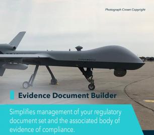
EVIDENCE DOCUMENT BUILDER
CALL FOR ASSISTANCE
Tool overview: what will Evidence Document Builder (EDB) solve for me? Complying with t
Product DetailtlmNexus Ltd
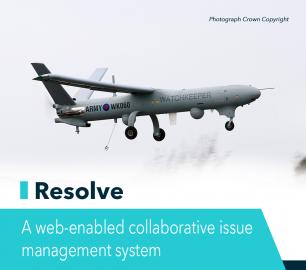
RESOLVE
CALL FOR ASSISTANCE
Tool overview: what will Resolve solve for me?Equipment issues that affect airworthiness, saf
Product DetailALTI
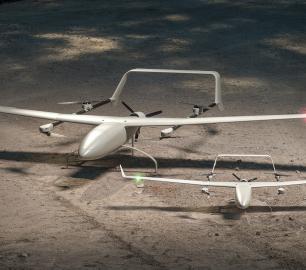
Reach - VTOL UAV
CALL FOR ASSISTANCE
The ALTI Reach is the upcoming 'bigger brother' to the ALTI Transition.
Product DetailtlmNexus Ltd
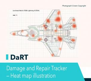
DAMAGE AND REPAIR TRACKER (DaRT)
CALL FOR ASSISTANCE
A popular consultancy and software solutionYour entire system’s damage and repair can be recorde
Product DetailHeven Drones
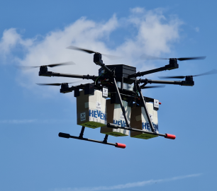
Urban Heven
CALL FOR ASSISTANCE
The Urban Heven is an advanced stage hexacopter drone capable of serving multiple mission types.
Product Detail


