Department
Software
Featured Suppliers
Latest Product Arrivals
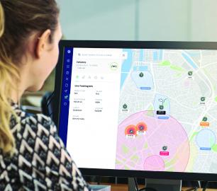
Unifly
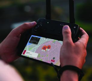
Unifly User Tools (UTM)
CALL FOR ASSISTANCE
Unifly’s Unmanned Traffic Management (UTM) platform connects official entities with operators t
Product Detail
SkyWatch.AI Drone Insurance On-Demand
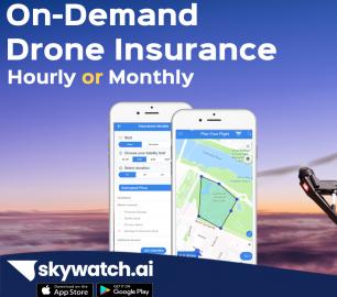
SkyWatch.AI
CALL FOR ASSISTANCE
Safer Pilots Pay LessSkyWatch.AI provides the world’s first Usage-Based Drone Insurance &
Product DetailData-Shack
Analytics Software
CALL FOR ASSISTANCE
ProfessionalProfessionalIdeally used by researchers, data scientists and business analysts.
Product Detail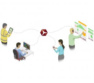
D-RisQ
Clawz
CALL FOR ASSISTANCE
The manual generation of code is inevitably fraught with errors leading to expe
Product DetailYellowScan
CloudStation - Turn physical projects into digital realities
CALL FOR ASSISTANCE
Product Detail
Latest Service Arrivals
tlmNexus Ltd
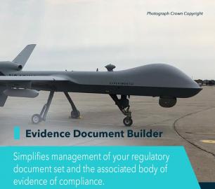
EVIDENCE DOCUMENT BUILDER
CALL FOR ASSISTANCE
Tool overview: what will Evidence Document Builder (EDB) solve for me? Complying with t
Product Detail
tlmNexus Ltd
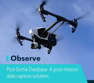
OBSERVE
CALL FOR ASSISTANCE
Tool overview: what will Observe -Post-Sortie Database solve for me?Designed by pilots for pi
Product DetailtlmNexus Ltd
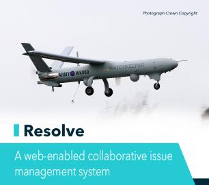
RESOLVE
CALL FOR ASSISTANCE
Tool overview: what will Resolve solve for me?Equipment issues that affect airworthiness, saf
Product DetailFeatured
tlmNexus Ltd
OBSERVE
CALL FOR ASSISTANCE
Tool overview: what will Observe -Post-Sortie Database solve for me?Designed by pilots for pi
Product DetailtlmNexus Ltd
EVIDENCE DOCUMENT BUILDER
CALL FOR ASSISTANCE
Tool overview: what will Evidence Document Builder (EDB) solve for me? Complying with t
Product DetailtlmNexus Ltd
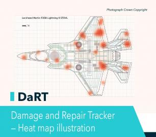
DAMAGE AND REPAIR TRACKER (DaRT)
CALL FOR ASSISTANCE
A popular consultancy and software solutionYour entire system’s damage and repair can be recorde
Product DetailtlmNexus Ltd
RESOLVE
CALL FOR ASSISTANCE
Tool overview: what will Resolve solve for me?Equipment issues that affect airworthiness, saf
Product DetailNews and features
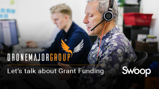
Let’s talk about Grant Funding
Following the economic impact of the pandemic, at Swoop we have contin...
Creative genius by artificial intelligence – but who owns the copyright?
Artificial intelligence, once the stuff of science fiction, is now com...

Why you should be outsourcing your data analysis
Are You spending unnecessary resources on in-house analysis, or are yo...
5 steps to mastering your commercial drone operations
Electric Transmission & Distribution Everyone with a stake in t...

Thermal orthographic vs individual images
We thought it would be interesting to compare thermal orthographic (st...
Drone Major Recommends
tlmNexus Ltd
OBSERVE
CALL FOR ASSISTANCE
Tool overview: what will Observe -Post-Sortie Database solve for me?Designed by pilots for pi
Product DetailtlmNexus Ltd
DAMAGE AND REPAIR TRACKER (DaRT)
CALL FOR ASSISTANCE
A popular consultancy and software solutionYour entire system’s damage and repair can be recorde
Product DetailtlmNexus Ltd
RESOLVE
CALL FOR ASSISTANCE
Tool overview: what will Resolve solve for me?Equipment issues that affect airworthiness, saf
Product Detail

Net Foundry

Automate & Simplify Cloud Application Connectivity
CALL FOR ASSISTANCE
Securely Connecting Developers to Multi-Cloud Applications Environments
Product DetailtlmNexus Ltd
EVIDENCE DOCUMENT BUILDER
CALL FOR ASSISTANCE
Tool overview: what will Evidence Document Builder (EDB) solve for me? Complying with t
Product Detail