Browse by Department
Latest Product Arrivals
Unifly
Unifly User Tools (UTM)
CALL FOR ASSISTANCE
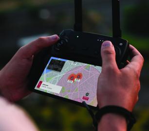
Unifly’s Unmanned Traffic Management (UTM) platform connects official entities with operators t
Product DetailHeven Drones
H250
CALL FOR ASSISTANCE
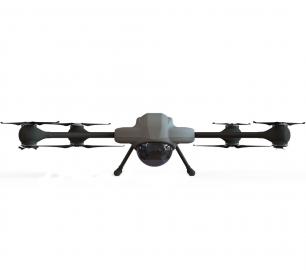
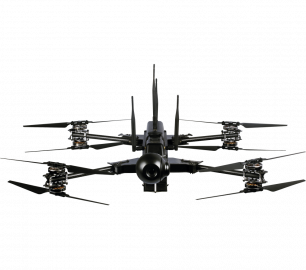
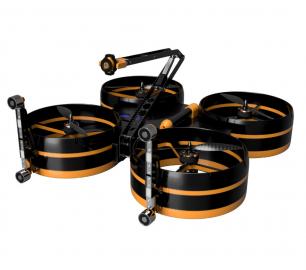
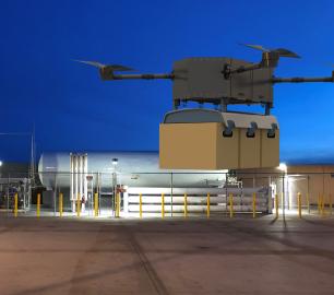
The H250 will be the workhorse of Heven’s heavy lifting drones.
Product DetailYellowScan
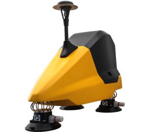
Fly&Drive - Fly when you can. Drive when you must.
CALL FOR ASSISTANCE
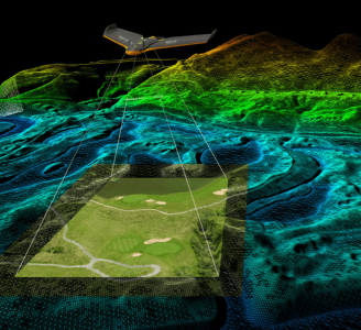
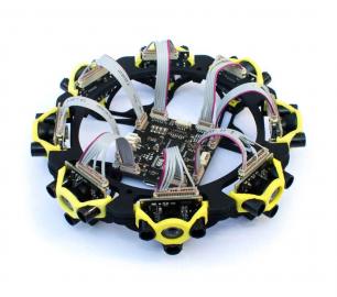
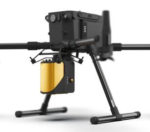
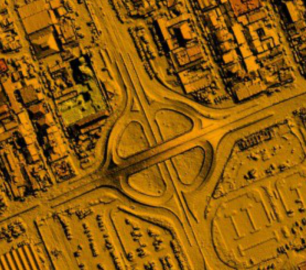
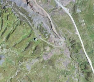
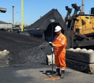
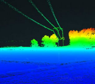
A multi-platform LiDAR for geospatial survey scanning from air to ground.
Product DetailLatest Service Arrivals
One Vision Imaging

Box Frames
CALL FOR PRICE
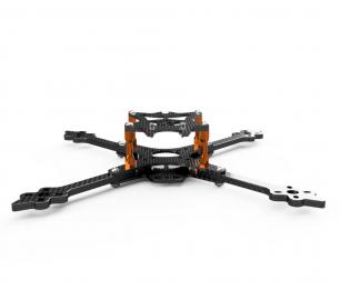
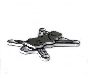
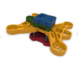
Simple yet elegant best describes the ever popular Box Frame.
Product DetailCaelus Drones
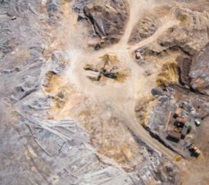
Industrial Surveys
CALL FOR ASSISTANCE
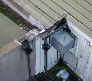
We can provide highly accurate data for surveys.
Product DetailOne Vision Imaging

Canvas Wraps
CALL FOR PRICE
This modern, stylish, award-winning Canvas Gallery Wrap is the perfect way to display your images.
Product DetailAccipiter Radar - Providing BVLOS DAA for UAS Inspections, Monitoring and Security Applications
VALAQ Patrol 120
The Percepto System
Watch BLIP in action
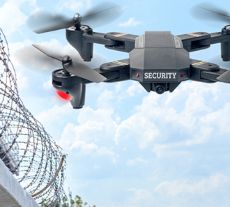
ITHPP Drone Sniper
News and features

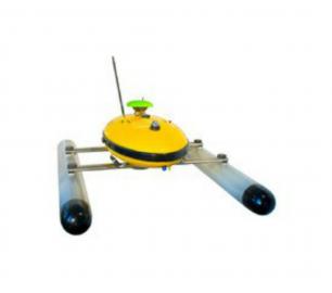
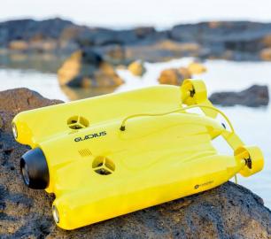
ATRP SERIES V4 PAVES THE WAY FOR UNMANNED AQUATIC INSPECTIONS
A lot has happened since our last update on the ATRP.The v3+, ha...

The role of drones and traffic management beyond airports
With the advent of specific regulations, better technologies and great...

VIZGARD: Practical AI Solutions for Defence and Security
Drone Major welcomes London-based SME VIZGARD to our roster of world-c...

INVOLI and AirMarket announce strategic partnership upon being selected as a team for Canada’s official RTM Service Trials
Lausanne, Switzerland: As part of one of the two teams ...

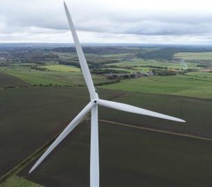
Why we do blade inspections, the way we do blade inspections
Writing is ambiguous. It misreads, misdirects, and paves the road for ...

Succeeding with using drones/UAVs to optimize maintenance operations, in 4 steps
This article builds on the premise, that using drones for maintenance ...

How to create UAS jobs for yourself. Starting a DSP in 4 steps
1. Picking a market Are you stuck looking for UAS jobs in your area...

Exactly how much is visual inspection data worth?
It can be easy to look for a one-and-done solution, when it comes to p...

Wingtra and Delair sign on dotted line to offer practical business insights from large, high-accuracy drone mapping projects
The vertical take-off and landing (VTOL) WingtraOne mapping...
What’s the difference between PPK and RTK drones, and which one is better?
Post-processed kinematic (PPK) and real-time kinematic (RTK) are not n...

Drone Technology in the World of Entertainment
Entertainment As We Know It: Since the establishment of the film in...

Successful inspection flights in the North Sea, Germany
Aero Enterprise uses its new developed helicopter drone for offshore i...

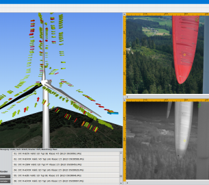
Artificial Intelligence finds damages on wind turbines
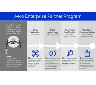
Aero Enterprise is specialized in airborne inspection of damages on wi...

Global Drone Traffic Leader Unifly Raises €17M in B-round
Unifly NV, provider of the world’s leading unmanned traffic manageme...

How Drones Helped Save Notre Dame
Paris used to be a no-fly zone – well, for drones that is. The c...

What 5G Means for the Drone Industry
5G has been the subject of significant recent media scrutiny, with cri...
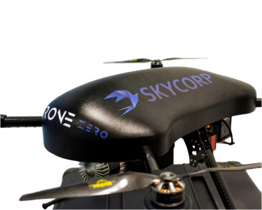
A SKYCORP announcement - e-Drone Zero - 2019 Deliveries
A SKYCORP announcement - e-Drone Zero - 2019 Deliveries A...

Underwater Drones used for Search & Rescue and Surveillance in India
Kumbh Mela is one of the largest religious gatherings on earth. It is ...
Drone Major RECOMMENDS
Valqari
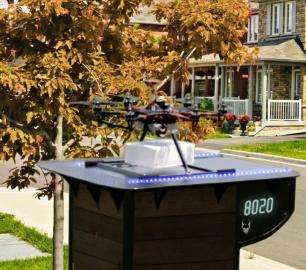
Valqari RCVR-PAD
CALL FOR ASSISTANCE
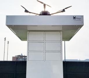
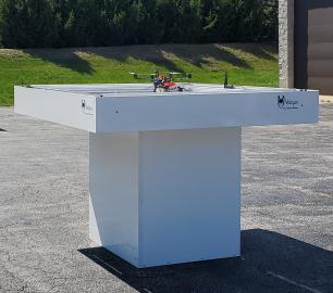
The RCVR-PAD - (Remote Communicating Vault Receiver - Personal Automated Delivery)
Product Detail


